Elizabeth mit dem Fahrrad
Entdecke eine Karte mit 56 Radrouten und Radwegen rund um Elizabeth, erstellt von unserer Community.
Regionenporträt
Lerne Elizabeth kennen
Finde die richtige Fahrradroute in Elizabeth, wo wir 56 Fahrradrouten für dich zum Erkunden haben.
4.286 km
Aufgezeichnete Strecken
56
Fahrradrouten
3.668
Einwohner
Community
Die aktivsten Nutzer in Elizabeth
Von unserer Community
Die besten Fahrradrouten in und um Elizabeth
Star Cycles Inglewood-COP-Kersbrook
Fahrradtour in Elizabeth, Südaustralien, Australien
- 64 km
- Distanz
- 717 m
- Aufstieg
- 717 m
- Abstieg
Star Cycles - Sandy Creek - hillier rd
Fahrradtour in Elizabeth, Südaustralien, Australien
- 59,8 km
- Distanz
- 196 m
- Aufstieg
- 196 m
- Abstieg
Elizabeth - Nuriootpa
Fahrradtour in Elizabeth, Südaustralien, Australien
- 134,8 km
- Distanz
- 960 m
- Aufstieg
- 722 m
- Abstieg
Elizabeth East to Hilton South Australia
Fahrradtour in Elizabeth, Südaustralien, Australien
- 30,5 km
- Distanz
- 48 m
- Aufstieg
- 91 m
- Abstieg
Mehr Routen entdecken
 Star Cycles - Ansteys Hill
- Distanz
- 58,8 km
- Aufstieg
- 536 m
- Abstieg
- 542 m
- Standort
- Elizabeth, Südaustralien, Australien
 Elizabeth to Keswick (BikeSA) via Torrens River Trail
- Distanz
- 42,3 km
- Aufstieg
- 275 m
- Abstieg
- 327 m
- Standort
- Elizabeth, Südaustralien, Australien
 trip...
- Distanz
- 11,6 km
- Aufstieg
- 25 m
- Abstieg
- 56 m
- Standort
- Elizabeth, Südaustralien, Australien
 1/1 ride
- Distanz
- 47,6 km
- Aufstieg
- 1.467 m
- Abstieg
- 1.465 m
- Standort
- Elizabeth, Südaustralien, Australien
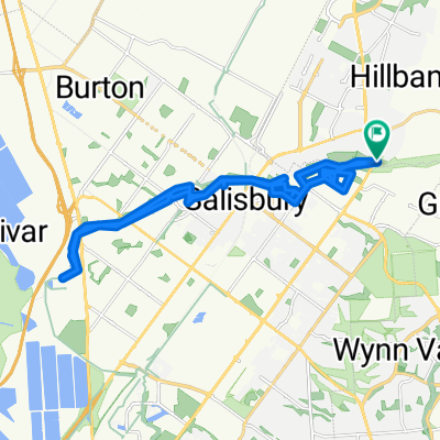
 Little Para River Trl, Salisbury Park to 12 Main St, Mawson Lakes
- Distanz
- 12,3 km
- Aufstieg
- 30 m
- Abstieg
- 70 m
- Standort
- Elizabeth, Südaustralien, Australien
 Angaston to Handorf
- Distanz
- 234,1 km
- Aufstieg
- 1.334 m
- Abstieg
- 1.333 m
- Standort
- Elizabeth, Südaustralien, Australien
 Yorktown Road 32, Elizabeth East to McCormack Crescent 50, Salisbury North
- Distanz
- 20,9 km
- Aufstieg
- 255 m
- Abstieg
- 285 m
- Standort
- Elizabeth, Südaustralien, Australien
 Steady ride in Salisbury Heights
- Distanz
- 31,8 km
- Aufstieg
- 117 m
- Abstieg
- 117 m
- Standort
- Elizabeth, Südaustralien, Australien


