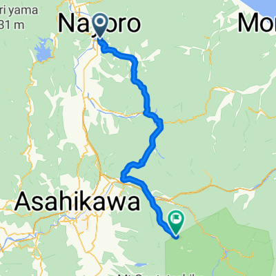
Nayoro mit dem Fahrrad
Entdecke eine Karte mit 27 Radrouten und Radwegen rund um Nayoro, erstellt von unserer Community.
Regionenporträt
Lerne Nayoro kennen
Finde die richtige Fahrradroute in Nayoro, wo wir 27 Fahrradrouten für dich zum Erkunden haben.
3.061 km
Aufgezeichnete Strecken
27
Fahrradrouten
26.457
Einwohner
Community
Die aktivsten Nutzer in Nayoro
Von unserer Community
Die besten Fahrradrouten in und um Nayoro
名寄センチュリー・Nayoro Century Course
Fahrradtour in Nayoro, Hokkaido, Japan
- 160,8 km
- Distanz
- 1.331 m
- Aufstieg
- 1.331 m
- Abstieg
Mehr Routen entdecken
 SEP-01-10-NAYORO-ASAHIKAWA
- Distanz
- 82,8 km
- Aufstieg
- 260 m
- Abstieg
- 248 m
- Standort
- Nayoro, Hokkaido, Japan
 Nayoro Century Half-course
- Distanz
- 74,2 km
- Aufstieg
- 344 m
- Abstieg
- 349 m
- Standort
- Nayoro, Hokkaido, Japan
 Nayoro Century 2015
- Distanz
- 146,3 km
- Aufstieg
- 1.352 m
- Abstieg
- 1.352 m
- Standort
- Nayoro, Hokkaido, Japan
 North to Utanobori and back
- Distanz
- 156,4 km
- Aufstieg
- 861 m
- Abstieg
- 861 m
- Standort
- Nayoro, Hokkaido, Japan
 名寄センチュリー70km・Nayoro Century 70km Course
- Distanz
- 70,3 km
- Aufstieg
- 765 m
- Abstieg
- 765 m
- Standort
- Nayoro, Hokkaido, Japan
 Round Hakodake & Piyashiri
- Distanz
- 185,2 km
- Aufstieg
- 1.009 m
- Abstieg
- 1.007 m
- Standort
- Nayoro, Hokkaido, Japan
 One Stoplight
- Distanz
- 113,1 km
- Aufstieg
- 1.417 m
- Abstieg
- 497 m
- Standort
- Nayoro, Hokkaido, Japan
 final stretch
- Distanz
- 198,3 km
- Aufstieg
- 1.227 m
- Abstieg
- 1.321 m
- Standort
- Nayoro, Hokkaido, Japan


