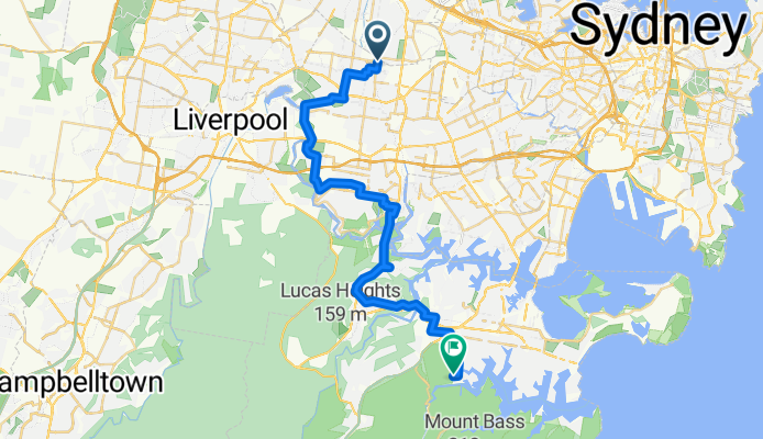

1 Johnston Rd, Bass Hill to 83 Milperra Rd, Revesby
- 5,7 km
- 37 m
- 61 m
- Regents Park, New South Wales, Australien

Entdecke eine Karte mit 63 Radrouten und Radwegen rund um Regents Park, erstellt von unserer Community.
Regionenporträt
Finde die richtige Fahrradroute in Regents Park, wo wir 63 Fahrradrouten für dich zum Erkunden haben.
7.145 km
Aufgezeichnete Strecken
63
Fahrradrouten
4.985
Einwohner
Community
Von unserer Community


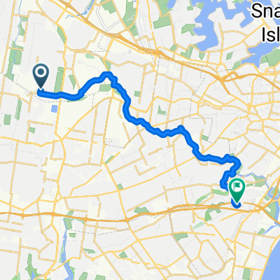
Fahrradtour in Regents Park, New South Wales, Australien


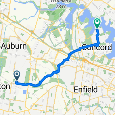
Fahrradtour in Regents Park, New South Wales, Australien
Fahrradtour in Regents Park, New South Wales, Australien
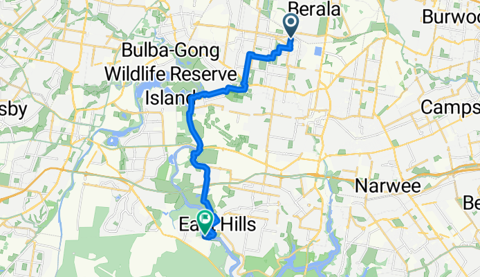
Fahrradtour in Regents Park, New South Wales, Australien