
Portobello mit dem Fahrrad
Entdecke eine Karte mit 34 Radrouten und Radwegen rund um Portobello, erstellt von unserer Community.
Regionenporträt
Lerne Portobello kennen
Finde die richtige Fahrradroute in Portobello, wo wir 34 Fahrradrouten für dich zum Erkunden haben.
1.550 km
Aufgezeichnete Strecken
34
Fahrradrouten
1.200
Einwohner
Community
Die aktivsten Nutzer in Portobello


Von unserer Community
Die besten Fahrradrouten in und um Portobello
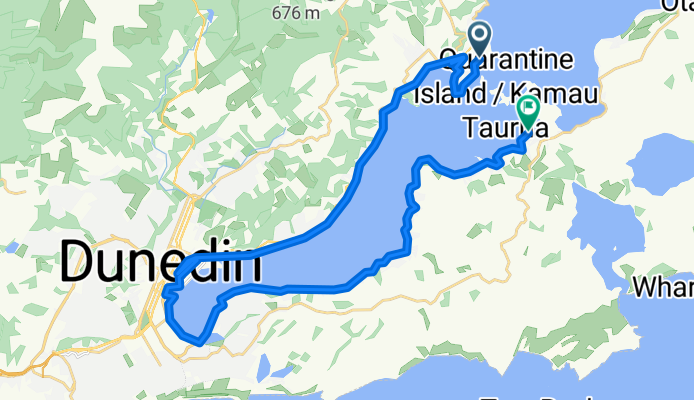
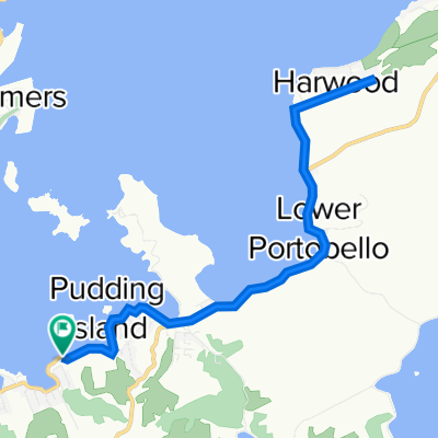
Peninsula Beach Road to Portobello Road
Fahrradtour in Portobello, Otago, Neuseeland
- 36,2 km
- Distanz
- 95 m
- Aufstieg
- 84 m
- Abstieg


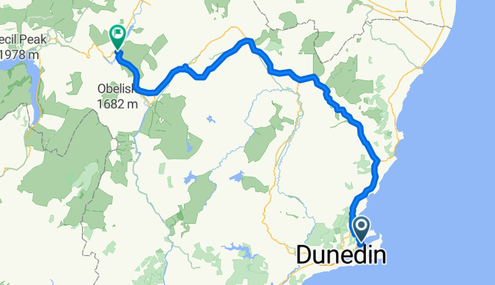
02. Port Chambers-Cromwell
Fahrradtour in Portobello, Otago, Neuseeland
- 233,7 km
- Distanz
- 1.644 m
- Aufstieg
- 1.442 m
- Abstieg
Mehr Routen entdecken
 Route to 566–740 Cape Saunders Road, Cape Saunders
- Distanz
- 14,4 km
- Aufstieg
- 424 m
- Abstieg
- 277 m
- Standort
- Portobello, Otago, Neuseeland
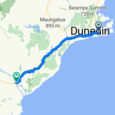 20 Marion Street, Macandrew Bay to 79 Clyde Street, Balclutha
- Distanz
- 94,5 km
- Aufstieg
- 1.145 m
- Abstieg
- 1.170 m
- Standort
- Portobello, Otago, Neuseeland
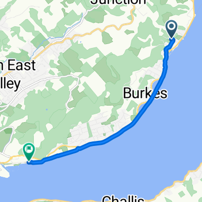
 Macandrew Bay to Portobello
- Distanz
- 16,6 km
- Aufstieg
- 199 m
- Abstieg
- 199 m
- Standort
- Portobello, Otago, Neuseeland
 Fast ride in Dunedin
- Distanz
- 5,6 km
- Aufstieg
- 54 m
- Abstieg
- 74 m
- Standort
- Portobello, Otago, Neuseeland
 Otago Bay 1
- Distanz
- 19,6 km
- Aufstieg
- 122 m
- Abstieg
- 119 m
- Standort
- Portobello, Otago, Neuseeland
 Dunedin Marathon
- Distanz
- 41,6 km
- Aufstieg
- 207 m
- Abstieg
- 207 m
- Standort
- Portobello, Otago, Neuseeland
 Port Chalmers to Oamaru NZ
- Distanz
- 112,5 km
- Aufstieg
- 1.818 m
- Abstieg
- 1.750 m
- Standort
- Portobello, Otago, Neuseeland
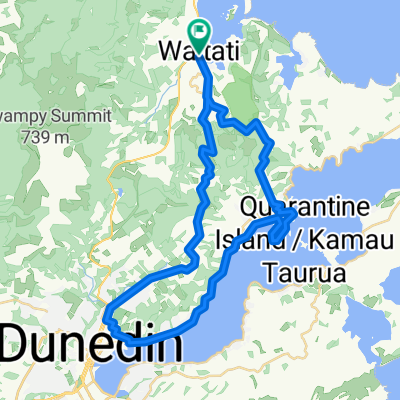 Port Chalmers loop
- Distanz
- 46,2 km
- Aufstieg
- 799 m
- Abstieg
- 799 m
- Standort
- Portobello, Otago, Neuseeland