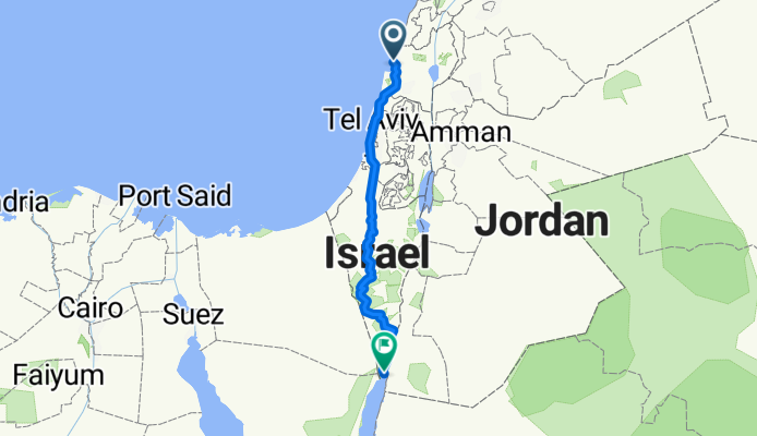
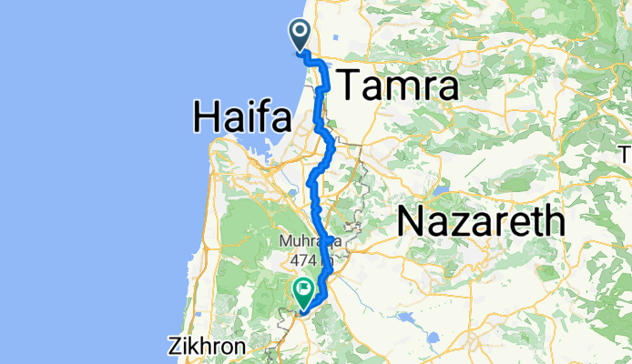


Ako to Roash hanikra
- 35,3 km
- 89 m
- 84 m
- Akkon, Nordbezirk, Israel

Finde die richtige Fahrradroute in Akkon, wo wir 25 Fahrradrouten für dich zum Erkunden haben.
Aufgezeichnete Strecken
Fahrradrouten
Einwohner

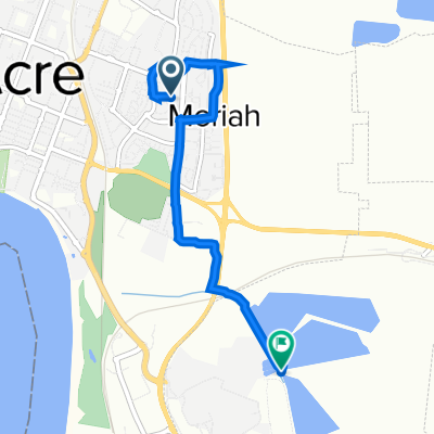
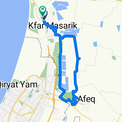
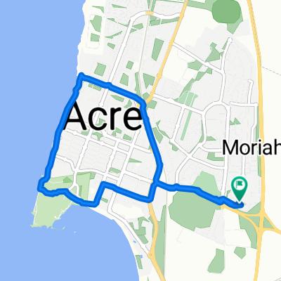
Fahrradtour in Akkon, Nordbezirk, Israel
Fahrradtour in Akkon, Nordbezirk, Israel
Fahrradtour in Akkon, Nordbezirk, Israel