
Bram mit dem Fahrrad
Entdecke eine Karte mit 52 Radrouten und Radwegen rund um Bram, erstellt von unserer Community.
Regionenporträt
Lerne Bram kennen
Finde die richtige Fahrradroute in Bram, wo wir 52 Fahrradrouten für dich zum Erkunden haben.
2.828 km
Aufgezeichnete Strecken
52
Fahrradrouten
3.255
Einwohner
Community
Die aktivsten Nutzer in Bram


Von unserer Community
Die besten Fahrradrouten in und um Bram

étape 6 Bram - Homps vendredi 25
Fahrradtour in Bram, Occitanie, Frankreich
- 67,7 km
- Distanz
- 185 m
- Aufstieg
- 271 m
- Abstieg

2013 Ride Day 26 - Bram Circle through Laurac and Cazalrenoux
Fahrradtour in Bram, Occitanie, Frankreich
- 47,5 km
- Distanz
- 385 m
- Aufstieg
- 385 m
- Abstieg

2013 Ride Day 28 - Bram to St-Pierre-de-Rivière (Foix)
Fahrradtour in Bram, Occitanie, Frankreich
- 90 km
- Distanz
- 1.033 m
- Aufstieg
- 707 m
- Abstieg
Mehr Routen entdecken
 2013 Ride Day 25 - Bram Circle through Labécède-Lauragais and Lasbordes
- Distanz
- 52,9 km
- Aufstieg
- 447 m
- Abstieg
- 444 m
- Standort
- Bram, Occitanie, Frankreich
 2013 Ride Day 27 - Bram Circle through Villepinte, St-Papoul, St-Ferréol, and Carlipa
- Distanz
- 70,4 km
- Aufstieg
- 786 m
- Abstieg
- 785 m
- Standort
- Bram, Occitanie, Frankreich
 Carcassonne to Saint-Paul, Aude France
- Distanz
- 133,3 km
- Aufstieg
- 3.078 m
- Abstieg
- 2.801 m
- Standort
- Bram, Occitanie, Frankreich
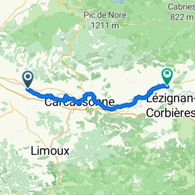
 Bram-Rivesaltes par St-Paul-Fenouillet
- Distanz
- 119 km
- Aufstieg
- 773 m
- Abstieg
- 875 m
- Standort
- Bram, Occitanie, Frankreich
 Bram > Andorra-Pal (203 km)
- Distanz
- 202,9 km
- Aufstieg
- 4.433 m
- Abstieg
- 2.678 m
- Standort
- Bram, Occitanie, Frankreich
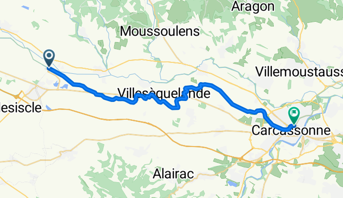
 Bram - Narbone
- Distanz
- 254,2 km
- Aufstieg
- 2.350 m
- Abstieg
- 2.468 m
- Standort
- Bram, Occitanie, Frankreich
 Bram - Olonzac
- Distanz
- 67,8 km
- Aufstieg
- 190 m
- Abstieg
- 278 m
- Standort
- Bram, Occitanie, Frankreich
 De À Fresquel 942, Bram à Rue du Pourtanel 8, Pexiora
- Distanz
- 10,4 km
- Aufstieg
- 20 m
- Abstieg
- 56 m
- Standort
- Bram, Occitanie, Frankreich