
Ostrožská Lhota mit dem Fahrrad
Entdecke eine Karte mit 19 Radrouten und Radwegen rund um Ostrožská Lhota, erstellt von unserer Community.
Regionenporträt
Lerne Ostrožská Lhota kennen
Finde die richtige Fahrradroute in Ostrožská Lhota, wo wir 19 Fahrradrouten für dich zum Erkunden haben. Die meisten Leute fahren hier im Monat August Fahrrad.
949 km
Aufgezeichnete Strecken
19
Fahrradrouten
1.633
Einwohner
Community
Die aktivsten Nutzer in Ostrožská Lhota


Von unserer Community
Die besten Fahrradrouten in und um Ostrožská Lhota

Trajdačka po slovácku
Fahrradtour in Ostrožská Lhota, Zliner Region, Tschechien
- 94,6 km
- Distanz
- 270 m
- Aufstieg
- 287 m
- Abstieg

Vinné tour 2009 1.den
Fahrradtour in Ostrožská Lhota, Zliner Region, Tschechien
Skoro celou dobu po okrskách, povrch nic moc, aut celkem málo
- 59,3 km
- Distanz
- 197 m
- Aufstieg
- 197 m
- Abstieg

Petrov Plze
Fahrradtour in Ostrožská Lhota, Zliner Region, Tschechien
Blatnice - Straznice - Petrov - Vnorovy - Veseli nad Moravou - Uhersky Ostroh - Blatnice
- 47,6 km
- Distanz
- 104 m
- Aufstieg
- 99 m
- Abstieg

Blatnice Petrov
Fahrradtour in Ostrožská Lhota, Zliner Region, Tschechien
- 19,5 km
- Distanz
- 52 m
- Aufstieg
- 98 m
- Abstieg
Mehr Routen entdecken
 Ostrožská Lhota to Hlavní, Hluk
- Distanz
- 4,8 km
- Aufstieg
- 9 m
- Abstieg
- 3 m
- Standort
- Ostrožská Lhota, Zliner Region, Tschechien
 Batov kanal
- Distanz
- 71,7 km
- Aufstieg
- 435 m
- Abstieg
- 434 m
- Standort
- Ostrožská Lhota, Zliner Region, Tschechien
 Lhota - Javořina (z Vapenek po neznacenych cestach)
- Distanz
- 61,6 km
- Aufstieg
- 829 m
- Abstieg
- 829 m
- Standort
- Ostrožská Lhota, Zliner Region, Tschechien
 Blatnice pod Svatým Antonínkem, Blatnice pod Svatým Antonínkem do Blatnice pod Svatým Antonínkem, Blatnice pod Svatým Antonínkem
- Distanz
- 2,3 km
- Aufstieg
- 28 m
- Abstieg
- 3 m
- Standort
- Ostrožská Lhota, Zliner Region, Tschechien
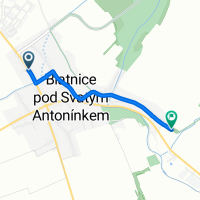
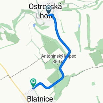 Ostrožská Lhota, Ostrožská Lhota do Blatnice pod Svatým Antonínkem, Blatnice pod Svatým Antonínkem
- Distanz
- 4,2 km
- Aufstieg
- 141 m
- Abstieg
- 123 m
- Standort
- Ostrožská Lhota, Zliner Region, Tschechien
 Hrad Buchlov
- Distanz
- 63,5 km
- Aufstieg
- 425 m
- Abstieg
- 422 m
- Standort
- Ostrožská Lhota, Zliner Region, Tschechien
 Cyklopivovary 2019 - den2
- Distanz
- 27,3 km
- Aufstieg
- 253 m
- Abstieg
- 47 m
- Standort
- Ostrožská Lhota, Zliner Region, Tschechien
 Bltanice-*HavlBrod
- Distanz
- 206,1 km
- Aufstieg
- 1.231 m
- Abstieg
- 1.019 m
- Standort
- Ostrožská Lhota, Zliner Region, Tschechien