
Fagernes mit dem Fahrrad
Entdecke eine Karte mit 92 Radrouten und Radwegen rund um Fagernes, erstellt von unserer Community.
Regionenporträt
Lerne Fagernes kennen
Finde die richtige Fahrradroute in Fagernes, wo wir 92 Fahrradrouten für dich zum Erkunden haben. Die meisten Leute fahren hier in den Monaten Juli und August Fahrrad.
7.377 km
Aufgezeichnete Strecken
92
Fahrradrouten
1.788
Einwohner
Community
Die aktivsten Nutzer in Fagernes
Von unserer Community
Die besten Fahrradrouten in und um Fagernes


Golsvegen to Golsvegen
Fahrradtour in Fagernes, Oppland, Norwegen
- 68,5 km
- Distanz
- 818 m
- Aufstieg
- 876 m
- Abstieg

Herkjavegen to Gamle Maridalsvei
Fahrradtour in Fagernes, Oppland, Norwegen
- 180,1 km
- Distanz
- 3.103 m
- Aufstieg
- 3.723 m
- Abstieg

From Tisleidalen to Bagn
Fahrradtour in Fagernes, Oppland, Norwegen
- 25,6 km
- Distanz
- 496 m
- Aufstieg
- 425 m
- Abstieg

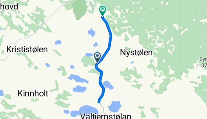
Valtjednvegen, Røn to Valtjednvegen, Røn
Fahrradtour in Fagernes, Oppland, Norwegen
- 6,7 km
- Distanz
- 35 m
- Aufstieg
- 91 m
- Abstieg
Mehr Routen entdecken
- Alle Routen in Fagernes
- Rundwege
- Entspannt
- Gravel
- Rennrad
- MTB
- Trekking


