1
- 32,4 km
- 1.559 m
- 1.449 m
- Campitello di Fassa, Trentino-Südtirol, Italien

Entdecke eine Karte mit 250 Radrouten und Radwegen rund um Campitello di Fassa, erstellt von unserer Community.
Regionenporträt
Finde die richtige Fahrradroute in Campitello di Fassa, wo wir 250 Fahrradrouten für dich zum Erkunden haben. Die meisten Leute fahren hier in den Monaten Juni und August Fahrrad.
13.848 km
Aufgezeichnete Strecken
250
Fahrradrouten
672
Einwohner
Community
Handverlesene Routen
Von unserer Community
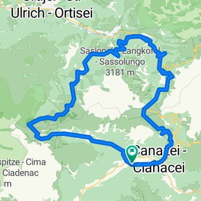
Fahrradtour in Campitello di Fassa, Trentino-Südtirol, Italien
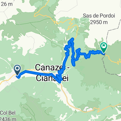
Fahrradtour in Campitello di Fassa, Trentino-Südtirol, Italien
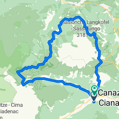
Fahrradtour in Campitello di Fassa, Trentino-Südtirol, Italien
Fahrradtour in Campitello di Fassa, Trentino-Südtirol, Italien