
Radfahren in Juntas
Entdecke eine Karte mit 55 Radrouten und Radwegen rund um Juntas, erstellt von unserer Community.
Regionenporträt
Lerne Juntas kennen
Finde die richtige Fahrradroute in Juntas, wo wir 55 Fahrradrouten für dich zum Erkunden haben.
1.570 km
Aufgezeichnete Strecken
55
Fahrradrouten
4.737
Einwohner
Community
Die aktivsten Nutzer in Juntas
Von unserer Community
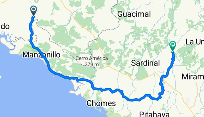
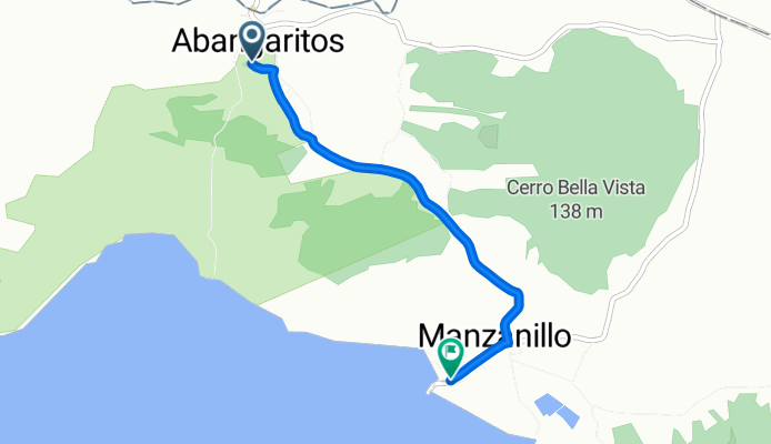
Die besten Fahrradrouten in und um Juntas
Santa Elena - La Fortuna
Fahrradtour in Juntas, Provincia de Guanacaste, Costa Rica
- 44,3 km
- Distanz
- 430 m
- Aufstieg
- 1.412 m
- Abstieg
monteverde- guacimal-san luis-monteverde
Fahrradtour in Juntas, Provincia de Guanacaste, Costa Rica
a ver que sale
- 42,5 km
- Distanz
- 1.487 m
- Aufstieg
- 1.487 m
- Abstieg
Monteverde downhill
Fahrradtour in Juntas, Provincia de Guanacaste, Costa Rica
Cycling Costa Rica. The way to discover our beautiful country, our nature and our people. Enjoy en start this little adventure. For more information see www.costaricacycling.com
Or send an email to info@costaricacycling.com
- 30,9 km
- Distanz
- 225 m
- Aufstieg
- 1.375 m
- Abstieg
Monteverde - Golfo Nicoya
Fahrradtour in Juntas, Provincia de Guanacaste, Costa Rica
This route will lead you from Santa Helena Monteverde to the coast line of the Golfo Nicoya. A beautiful ride from the cloud forrest to the low country of the quanacasta.
Want to learn more about cycling in Costa Rica contact us info@Costaricacycling.com or check out our webpage www.cost
- 49,8 km
- Distanz
- 217 m
- Aufstieg
- 1.530 m
- Abstieg
Mehr Routen entdecken
- Monteverde - Tarcoles
- Distanz
- 94,7 km
- Aufstieg
- 427 m
- Abstieg
- 1.746 m
- Standort
- Juntas, Provincia de Guanacaste, Costa Rica
- santa elena - colorado
- Distanz
- 67,2 km
- Aufstieg
- 420 m
- Abstieg
- 1.728 m
- Standort
- Juntas, Provincia de Guanacaste, Costa Rica
- Vertrek Estanada
- Distanz
- 67,1 km
- Aufstieg
- 267 m
- Abstieg
- 280 m
- Standort
- Juntas, Provincia de Guanacaste, Costa Rica
- colorado - puerto carillo
- Distanz
- 95,2 km
- Aufstieg
- 970 m
- Abstieg
- 961 m
- Standort
- Juntas, Provincia de Guanacaste, Costa Rica
- monteverde-tilaran-monteverde
- Distanz
- 82,1 km
- Aufstieg
- 1.620 m
- Abstieg
- 1.623 m
- Standort
- Juntas, Provincia de Guanacaste, Costa Rica
- Monte verde - Punta Arenas
- Distanz
- 66,1 km
- Aufstieg
- 295 m
- Abstieg
- 1.679 m
- Standort
- Juntas, Provincia de Guanacaste, Costa Rica
- San Juan-Guaria-Santa Elena
- Distanz
- 27,1 km
- Aufstieg
- 1.563 m
- Abstieg
- 410 m
- Standort
- Juntas, Provincia de Guanacaste, Costa Rica
- Montaña Monteverde
- Distanz
- 3,1 km
- Aufstieg
- 271 m
- Abstieg
- 275 m
- Standort
- Juntas, Provincia de Guanacaste, Costa Rica