
Bogota D.C. mit dem Fahrrad
Entdecke eine Karte mit 17.041 Fahrradrouten und Radwegen in Bogota D.C., erstellt von unserer Community.
Regionenporträt
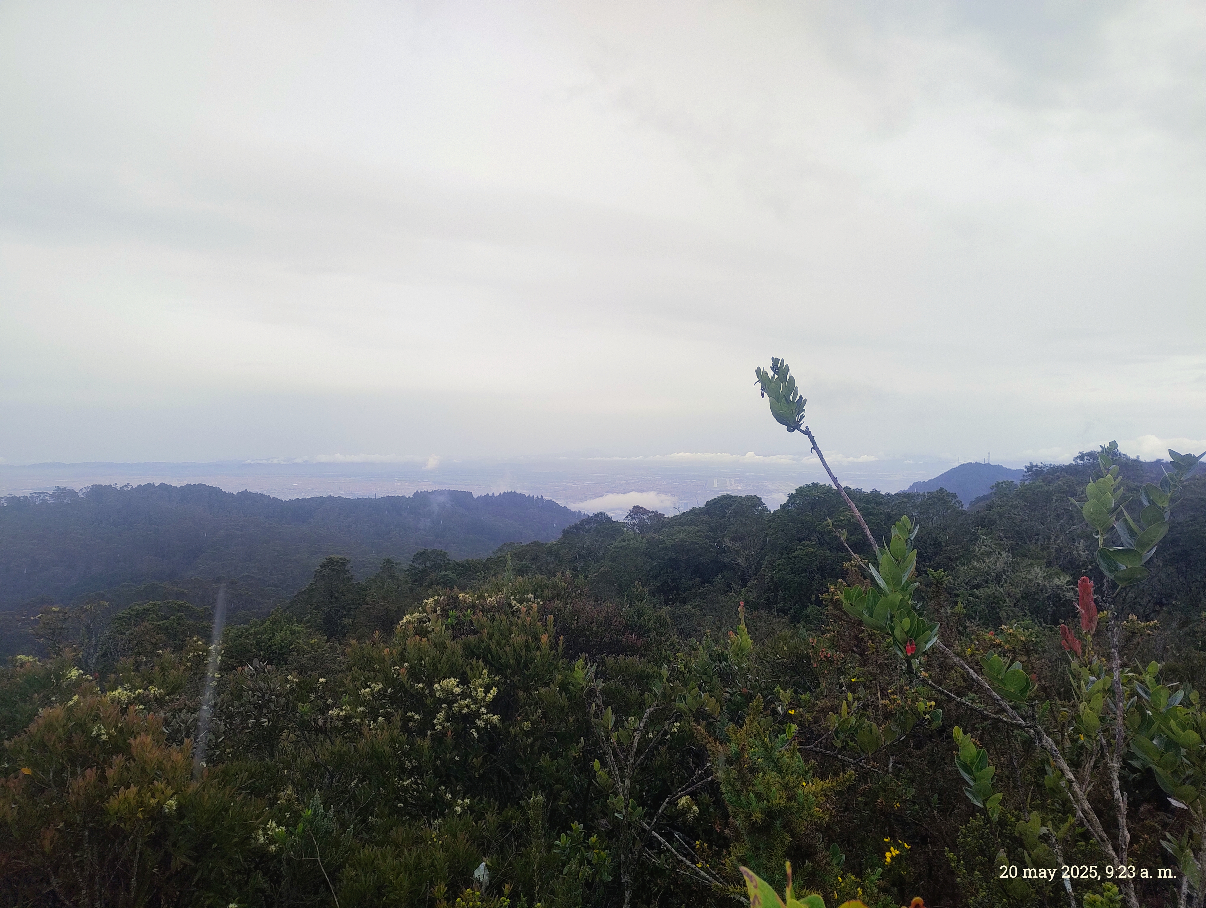
Lerne Bogota D.C. kennen
Finde die richtige Fahrradroute in Bogota D.C., wo wir 17.041 Fahrradrouten für dich zum Erkunden haben. Die meisten Leute fahren hier in den Monaten Mai und Juni Fahrrad.
448.914 km
Aufgezeichnete Strecken
17.041
Fahrradrouten
Community
Die aktivsten Nutzer in Bogota D.C.


Von unserer Community
Die besten Fahrradrouten in der Bogota D.C.


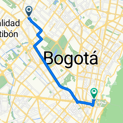
Calle 42, Bogotá a Avenida Calle 134, Bogotá
Fahrradtour in Bogotá, Bogota D.C., Kolumbien
- 13,3 km
- Distanz
- 132 m
- Aufstieg
- 137 m
- Abstieg

De Carrera 53d # 4C-30, Bogotá, D.C. a Calle 5a # 53D-35, Bogotá, D.C.
Fahrradtour in Bogotá, Bogota D.C., Kolumbien
- 54,2 km
- Distanz
- 1.304 m
- Aufstieg
- 1.328 m
- Abstieg

Bogota - Viota - Girardot- Ibague - Toche - Salento
Fahrradtour in Bogotá, Bogota D.C., Kolumbien
I finished this route in 5 days of cycling with my bicycle and circa 20 kg of luggage. Between Ibague and Salento there is no asphalt and ascent is quite hard, in many places it was impossible to ride and I had to push my bicycle. I slept in the places mentioned in the name of the route, Apart fr
- 358,9 km
- Distanz
- 3.835 m
- Aufstieg
- 4.515 m
- Abstieg

Bogota - villadeleyva
Fahrradtour in Barrio San Luis, Bogota D.C., Kolumbien
all the route is through secondary roads on paved terrain, tust in between Suesca and Cucunuba is unpaved. there are places to stay in suesca, cucunuba, chiquinquira , Raquira and off course villa deleyva.
- 213,6 km
- Distanz
- 1.459 m
- Aufstieg
- 1.812 m
- Abstieg
Mehr Routen entdecken
 Colombia 🇨🇴 2019
- Distanz
- 3.305,3 km
- Aufstieg
- 8.902 m
- Abstieg
- 8.902 m
- Standort
- Bogotá, Bogota D.C., Kolumbien
 Salto Tequendama
- Distanz
- 22,1 km
- Aufstieg
- 72 m
- Abstieg
- 354 m
- Standort
- Bogotá, Bogota D.C., Kolumbien
 bogota- la costa
- Distanz
- 998,3 km
- Aufstieg
- 1.342 m
- Abstieg
- 3.783 m
- Standort
- Barrio San Luis, Bogota D.C., Kolumbien
 Calle 18, Bogotá a Calle 145, Bogotá
- Distanz
- 20,2 km
- Aufstieg
- 60 m
- Abstieg
- 123 m
- Standort
- Bogotá, Bogota D.C., Kolumbien
 Calle 63B, Bogotá a Calle 38, Bogotá
- Distanz
- 10,7 km
- Aufstieg
- 50 m
- Abstieg
- 12 m
- Standort
- Bogotá, Bogota D.C., Kolumbien
 Avenida Carrera 7, Bogotá a Avenida Carrera 6, Bogotá
- Distanz
- 43,7 km
- Aufstieg
- 516 m
- Abstieg
- 501 m
- Standort
- Barrio San Luis, Bogota D.C., Kolumbien
 Bogotá - Laguna Los Tunjos (Sumapaz)
- Distanz
- 42,6 km
- Aufstieg
- 1.423 m
- Abstieg
- 313 m
- Standort
- Bogotá, Bogota D.C., Kolumbien
 Salida a La Calera
- Distanz
- 64,6 km
- Aufstieg
- 837 m
- Abstieg
- 840 m
- Standort
- Bogotá, Bogota D.C., Kolumbien
Fahrradregionen in Bogota D.C.
Barrio San Luis
5.936 Radrouten
Bogotá
11.105 Radrouten
Wo man in Kolumbien radelt
Beliebte Fahrradregionen in Kolumbien

