
Cadrezzate mit dem Fahrrad
Entdecke eine Karte mit 39 Radrouten und Radwegen rund um Cadrezzate, erstellt von unserer Community.
Regionenporträt
Lerne Cadrezzate kennen
Finde die richtige Fahrradroute in Cadrezzate, wo wir 39 Fahrradrouten für dich zum Erkunden haben.
2.023 km
Aufgezeichnete Strecken
39
Fahrradrouten
1.636
Einwohner
Community
Die aktivsten Nutzer in Cadrezzate


Von unserer Community
Die besten Fahrradrouten in und um Cadrezzate

Giro del campo dei fiori con Brinzio
Fahrradtour in Cadrezzate, Lombardei, Italien
- 56,6 km
- Distanz
- 755 m
- Aufstieg
- 741 m
- Abstieg

Giro del Monte Campo dei Fiori
Fahrradtour in Cadrezzate, Lombardei, Italien
- 67,1 km
- Distanz
- 1.166 m
- Aufstieg
- 1.166 m
- Abstieg

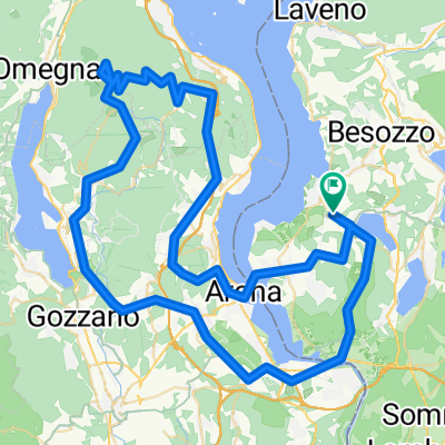
Giro Lago Maggiore
Fahrradtour in Cadrezzate, Lombardei, Italien
- 166,8 km
- Distanz
- 2.252 m
- Aufstieg
- 2.292 m
- Abstieg

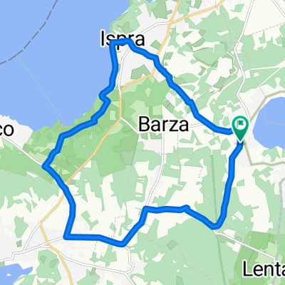
Ispra Lugano e ritorno
Fahrradtour in Cadrezzate, Lombardei, Italien
- 88 km
- Distanz
- 726 m
- Aufstieg
- 753 m
- Abstieg
Mehr Routen entdecken
 Cadreazzate Monvalle Taino
- Distanz
- 30,5 km
- Aufstieg
- 188 m
- Abstieg
- 170 m
- Standort
- Cadrezzate, Lombardei, Italien
 Bike to Malpensa (T1)!!!
- Distanz
- 31,3 km
- Aufstieg
- 214 m
- Abstieg
- 225 m
- Standort
- Cadrezzate, Lombardei, Italien
 Bike to Malpensa (T2)!!!
- Distanz
- 24,5 km
- Aufstieg
- 177 m
- Abstieg
- 178 m
- Standort
- Cadrezzate, Lombardei, Italien
 Lunch break 1 Largo di Conabio
- Distanz
- 27,9 km
- Aufstieg
- 255 m
- Abstieg
- 255 m
- Standort
- Cadrezzate, Lombardei, Italien
 lunch break 2 Santuario di S. Clemente
- Distanz
- 25,4 km
- Aufstieg
- 357 m
- Abstieg
- 360 m
- Standort
- Cadrezzate, Lombardei, Italien
 15km JRC
- Distanz
- 15,6 km
- Aufstieg
- 153 m
- Abstieg
- 153 m
- Standort
- Cadrezzate, Lombardei, Italien
 Mottarone
- Distanz
- 101,6 km
- Aufstieg
- 1.532 m
- Abstieg
- 1.532 m
- Standort
- Cadrezzate, Lombardei, Italien
 Comabbio
- Distanz
- 34,6 km
- Aufstieg
- 268 m
- Abstieg
- 267 m
- Standort
- Cadrezzate, Lombardei, Italien