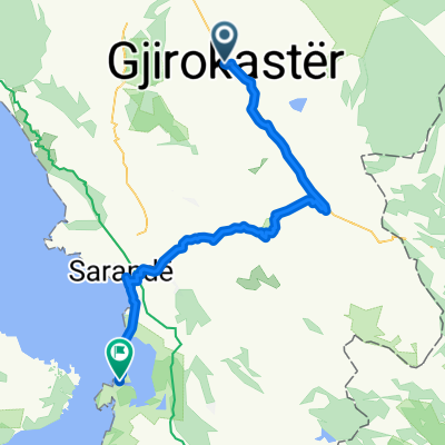
Gjirokastra Shepe
- 45,8 km
- 862 m
- 228 m
- Gjirokastra, Qarku i Gjirokastrës, Albanien

Entdecke eine Karte mit 55 Radrouten und Radwegen rund um Gjirokastra, erstellt von unserer Community.
Regionenporträt
Finde die richtige Fahrradroute in Gjirokastra, wo wir 55 Fahrradrouten für dich zum Erkunden haben.
4.196 km
Aufgezeichnete Strecken
55
Fahrradrouten
23.437
Einwohner
Community
Von unserer Community
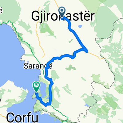
Fahrradtour in Gjirokastra, Qarku i Gjirokastrës, Albanien
Fahrradtour in Gjirokastra, Qarku i Gjirokastrës, Albanien
Fahrradtour in Gjirokastra, Qarku i Gjirokastrës, Albanien
Fahrradtour in Gjirokastra, Qarku i Gjirokastrës, Albanien