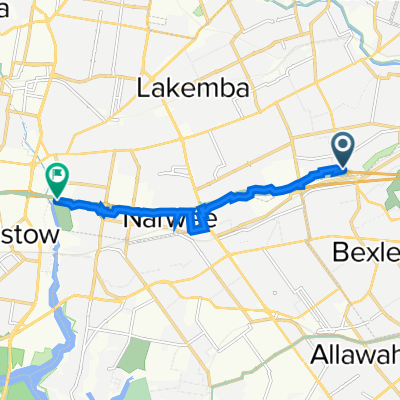


Bexley North - Home
- 4,9 km
- 57 m
- 28 m
- Bexley North, New South Wales, Australien

Entdecke eine Karte mit 56 Radrouten und Radwegen rund um Bexley North, erstellt von unserer Community.
Regionenporträt
Finde die richtige Fahrradroute in Bexley North, wo wir 56 Fahrradrouten für dich zum Erkunden haben.
1.673 km
Aufgezeichnete Strecken
56
Fahrradrouten
3.999
Einwohner
Community
Von unserer Community
Fahrradtour in Bexley North, New South Wales, Australien
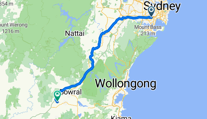
Fahrradtour in Bexley North, New South Wales, Australien
Fahrradtour in Bexley North, New South Wales, Australien
Fahrradtour in Bexley North, New South Wales, Australien