Premium Badge Aus dem App Store herunterladen Hol dir Bikemap auf Google Play Turn-by-Turn-Navigation Offline Maps Bike Type Optimized Routing Premium Maps Individueller Fahrradcomputer Routen-Export Route Previews Sturzerkennung Premium Support

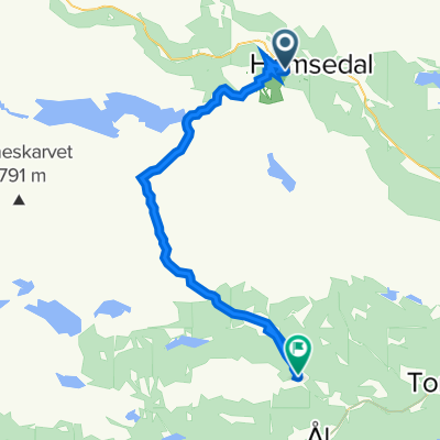
Radroute in Hemsedal, Buskerud, Norwegen

Grøndalsløypa

1
Route in der Bikemap App öffnen

Route in der Bikemap App öffnen

Diese Route in Bikemap Web öffnen

Diese Route in Bikemap Web öffnen

7 km
Distanz
418 m
Aufstieg
158 m
Abstieg
-:-- h
Dauer
-- km/h
ø-Tempo
--- m
Max. Höhe

Über diese Route


<span style="font-family: HelveticaNeue-HeavyCond; color: #000000; font-size: 8.5pt;">Grøndalsløypa</span><span style="font-family: HelveticaNeue-HeavyCond; color: #000000; font-size: 8.5pt;"> </span>

<span style="font-family: HelveticaNeue-LightCond; color: #000000; font-size: 8.5pt;">From the large read brick building at Tuv you can continue along the stream Grøndøla towards Kroken in the Grøndalen</span>

<span style="font-family: HelveticaNeue-LightCond; color: #000000; font-size: 8.5pt;">valley. Follow the dirt track which goes along the field next to the stream.</span>

<span style="font-family: HelveticaNeue-LightCond; color: #000000; font-size: 8.5pt;">The track stops at Kroken where you can walk up Karisetberget mountain (one of the</span>

<span style="font-family: HelveticaNeue-LightCond; color: #000000; font-size: 8.5pt;">Top 20 marked mountain walks) or keep the red dirt track that follow the river to Brekkeføssen and Fagerset track.</span>

<span style="font-family: HelveticaNeue-LightCond; color: #000000; font-size: 8.5pt;">Alternative go right and follow the green track to the asphalt Grøndalen track, then you’ll</span>

<span style="font-family: HelveticaNeue-LightCond; color: #000000; font-size: 8.5pt;">have to cycle about 100 m uphill, further into the Grøndalen valley, before once can get</span>

<span style="font-family: HelveticaNeue-LightCond; color: #000000; font-size: 8.5pt;">back onto a gravel road towards Fagerset (just after the bridge below the dam, take</span>

<span style="font-family: HelveticaNeue-LightCond; color: #000000; font-size: 8.5pt;">a stop on the left at Brekkeføssen waterfall. Here there is an old, restored water mill). At</span>

<span style="font-family: HelveticaNeue-LightCond; color: #000000; font-size: 8.5pt;">the end of Fagerset gravel road, there’s a demanding tractor track taking you further into the Grøndalen valley towards Hemsedal golf course. You may also take off left before Fagerset lake and follow a black marked track up and downhill a dirt track back to Kroken.</span>


Diese Fahrradroute ist ideal für: MTB

Du fährst auf folgendem Untergrund: Schotter

Passe diese Fahrradroute mit dem Bikemap-Routenplaner an.

Passe diese Route an!

Wusstest du schon? Du kannst diese Route als Vorlage in unserem Routenplaner verwenden, und sie ganz einfach nach deinen Bedürfnissen anpassen. So planst du noch schneller deine perfekte Radtour.

In der App öffnen