

Covarrubias-Puentedura-Lerma-Tordueles-Covarrubias
Eine Fahrradroute, die in Covarrubias, Nordkastilien, Spanien beginnt.
Übersicht
Über diese Route
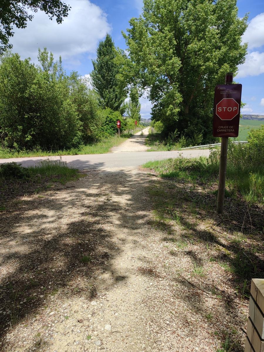
Start in Covarrubias, crossing the bridge over the Arlanza River towards Retuerta. Just after crossing the bridge, turn left into Arrabal and take the path leading to the Redonda Hermitage. Continue along the tree-lined path with a short ascent and descent to Puentedura. Cross the bridge and turn left onto the road to Lerma; after climbing, at 500 meters turn right onto a path. Continue with ups and downs until you reach Quintanilla del Agua. Go onto the road to Lerma, cross Quintanilla, and take the left turn onto the road to Tordueles. Just after crossing the bridge, take the dirt track to your right. Follow it, passing near the Bascones farm, and in the distance you can see Lerma’s Parador on the hilltop. Continue along flat terrain and finish with a short climb to Lerma’s Parador. Return by the same route, passing Bascones farm, arrive at the junction with the Tordueles road, turn right, and follow the road into Tordueles, which you cross. Continue on the road to Puentedura, then turn right to cross the village and join the path leading back to Covarrubias via the Redonda Hermitage.
The route is flat and easy, but be careful with the wind; when it blows, it really blows!
- -:--
- Dauer
- 48,9 km
- Distanz
- 209 m
- Aufstieg
- 208 m
- Abstieg
- ---
- Ø-Tempo
- ---
- Max. Höhe
Routenqualität
Wegtypen und Untergründe entlang der Route
Wegtypen
Forst- / Feldweg
33,2 km
(68 %)
Straße
8,8 km
(18 %)
Untergründe
Befestigt
24,4 km
(50 %)
Unbefestigt
17,6 km
(36 %)
Befestigt (undefiniert)
15,6 km
(32 %)
Asphalt
8,8 km
(18 %)
Weiter mit Bikemap
Diese Radroute verwenden, bearbeiten oder herunterladen
Du möchtest Covarrubias-Puentedura-Lerma-Tordueles-Covarrubias fahren oder sie für deine eigene Reise anpassen? Folgendes kannst du mit dieser Bikemap-Route machen:
Gratis Funktionen
- Speichere diese Route als Favorit oder in einer Sammlung
- Kopiere & plane deine eigene Version dieser Route
- Synchronisiere deine Route mit Garmin oder Wahoo
Premium-Funktionen
Kostenlose Testversion für 3 Tage oder einmalige Zahlung. Mehr über Bikemap Premium.
- Navigiere diese Route auf iOS & Android
- Exportiere eine GPX / KML-Datei dieser Route
- Erstelle deinen individuellen Ausdruck (Jetzt kostenlos ausprobieren)
- Lade diese Route für die Offline-Navigation herunter
Entdecke weitere Premium-Funktionen.
Bikemap Premium aktivierenVon unserer Community
Covarrubias: Andere beliebte Routen, die hier beginnen
 BCB ENCUENTROS 2005 Etapa 4 Covarrubias Burgos
- Distanz
- 67,1 km
- Aufstieg
- 326 m
- Abstieg
- 379 m
- Standort
- Covarrubias, Nordkastilien, Spanien
 30-VI Covarrubias-Arlanzón 64Km 384m
- Distanz
- 62,2 km
- Aufstieg
- 539 m
- Abstieg
- 455 m
- Standort
- Covarrubias, Nordkastilien, Spanien
 29-VI Covarrubias (1) 50km 697m
- Distanz
- 49,7 km
- Aufstieg
- 803 m
- Abstieg
- 809 m
- Standort
- Covarrubias, Nordkastilien, Spanien
 Covarrubias-Ura-Castroceniza-Retuerta-Covarrubias
- Distanz
- 24,3 km
- Aufstieg
- 465 m
- Abstieg
- 459 m
- Standort
- Covarrubias, Nordkastilien, Spanien
 29-VI Covarrubias-Silos-Ura-Covarrubias (2.2) 41Km 725m
- Distanz
- 41 km
- Aufstieg
- 794 m
- Abstieg
- 793 m
- Standort
- Covarrubias, Nordkastilien, Spanien
 Covarrubias
- Distanz
- 51,8 km
- Aufstieg
- 586 m
- Abstieg
- 586 m
- Standort
- Covarrubias, Nordkastilien, Spanien
 Covarrubias-Mamblas-Puentedura-Covarrubias
- Distanz
- 29,4 km
- Aufstieg
- 366 m
- Abstieg
- 366 m
- Standort
- Covarrubias, Nordkastilien, Spanien
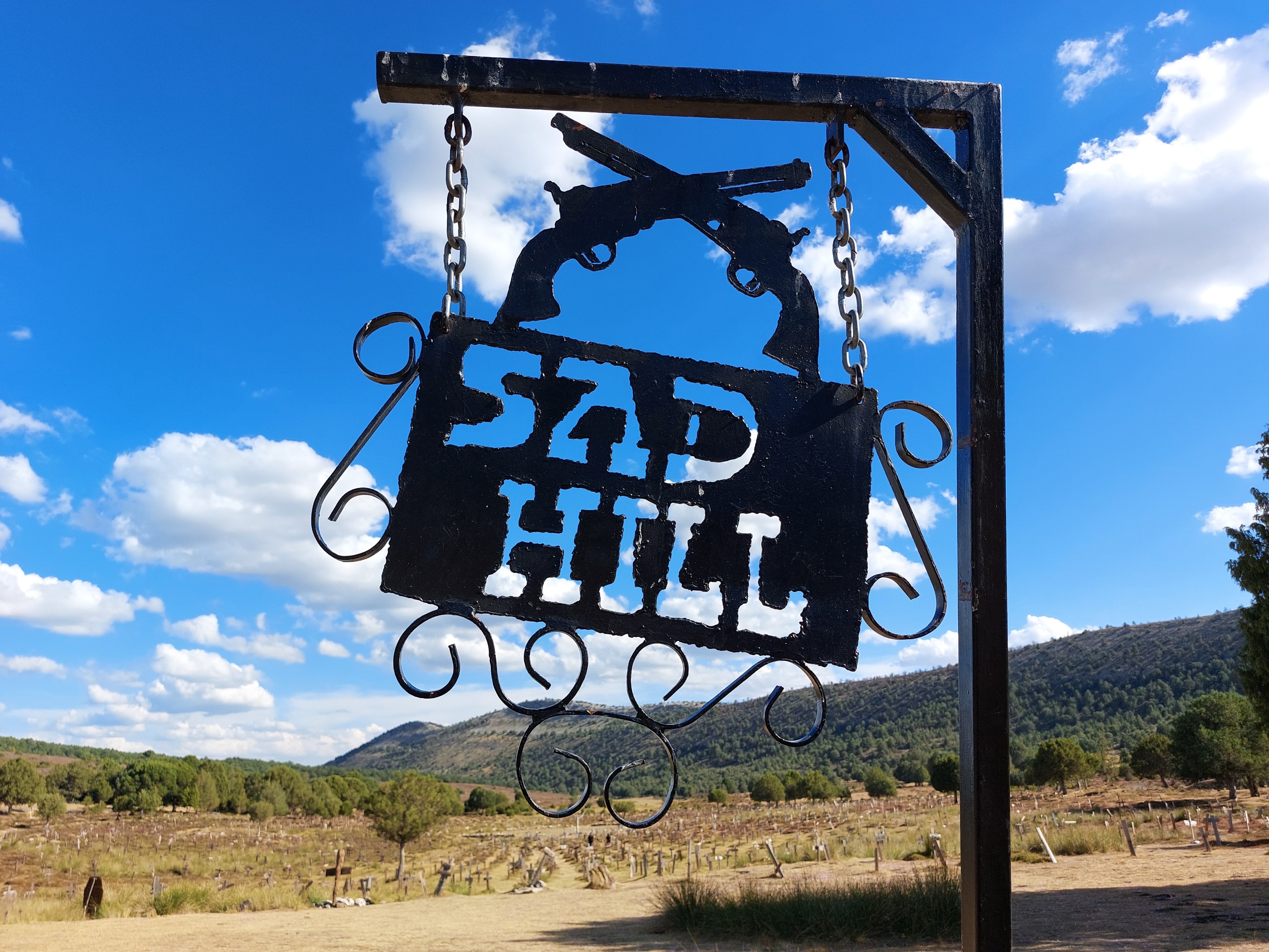
 29-VI (2) Covarrubias-Ura-Sad Hill-Covarrubias 50Km 569m
- Distanz
- 49,9 km
- Aufstieg
- 703 m
- Abstieg
- 715 m
- Standort
- Covarrubias, Nordkastilien, Spanien
In der App öffnen