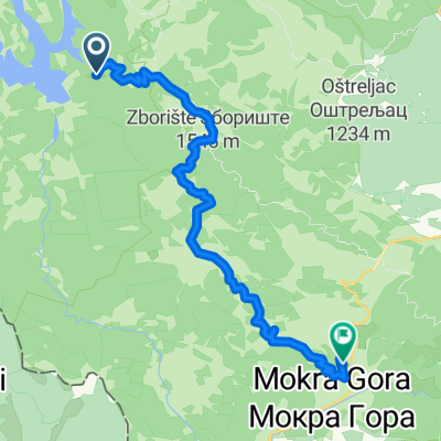
Tara 2
- 73,2 km
- 1.494 m
- 1.494 m
- Bajina Bašta, Zentralserbien, Serbien
Eine Fahrradroute, die in Bajina Bašta, Zentralserbien, Serbien beginnt.
Übersicht
Šljivovica - Borjak - Beserovačke bare - Lokvica - Osluša - Sokolina - Rustine – Šljivovica 28,8km; this route will take you through the heart of the mountain Tara within a shorter circular orbit of 26 km but you will not be deprived from seeing the beauty and diversity of this beautiful mountain, and in particular, you will be introduced to its high altitude, high pine trees, towering cliffs which hold beautiful viewpoints. The highest point on this route is 1380 meters and the total climb 1183 meters. The route can be ridden in either direction, but the opposite direction is more difficult due to the ascent on the last third of the route. The roads are mostly forest and grave.
Erstellt vor 7 Jahren
Routenqualität
Ruhige Straße
19,9 km
77 %
Straße
2,6 km
10 %
Befestigt
2,6 km
(10 %)
Unbefestigt
20,7 km
(80 %)
Schotter
17,3 km
67 %
Asphalt
2,6 km
10 %
Weiter mit Bikemap
Du möchtest Serbia - Tara National Park easy fahren oder sie für deine eigene Reise anpassen? Folgendes kannst du mit dieser Bikemap-Route machen:
Kostenlose Testversion für 3 Tage oder einmalige Zahlung. Mehr über Bikemap Premium.
Entdecke weitere Premium-Funktionen.
Bikemap Premium aktivierenVon unserer Community
In der App öffnen