Hallingrittet
- 42,2 km
- 746 m
- 746 m
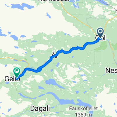
- Gol, Buskerud, Norwegen
Eine Fahrradroute, die in Gol, Buskerud, Norwegen beginnt.
Übersicht
Gol Kirche - Tuppeskogen - Rotneim Fahren Sie durch das Stadtzentrum und folgen Sie dem Fußweg entlang der Rv 51 in Richtung Hemsedal. Biegen Sie links ab und fahren Sie hinauf zur Gol Kirche, wo der Fußweg endet. Von der Gol Kirche aus hat man einen spektakulären Blick auf die Stadt. Fahren Sie weiter, bis Sie nach Tuppeskogen hinabkommen. Dort können Sie wählen, ob Sie weiter auf dem Fußweg hinab in die Stadt fahren oder nach Rotneim weiterfahren möchten. Wenn Sie Rotneim erreichen, können Sie erneut wählen: Sie können dem Fußweg zurück nach Gol folgen oder den Fluss bei Vermefoss überqueren und dem Fußweg zurück zum Bahnhof Gol und ins Stadtzentrum folgen.
Erstellt vor 15 Jahren
Routenqualität
Ruhige Straße
5,6 km
(27 %)
Radweg
3,8 km
(18 %)
Befestigt
5,4 km
(26 %)
Unbefestigt
2,3 km
(11 %)
Asphalt
5,4 km
(26 %)
Schotter
2,3 km
(11 %)
Undefiniert
13,2 km
(63 %)
Weiter mit Bikemap
Du möchtest Gol Round 3 fahren oder sie für deine eigene Reise anpassen? Folgendes kannst du mit dieser Bikemap-Route machen:
Kostenlose Testversion für 3 Tage oder einmalige Zahlung. Mehr über Bikemap Premium.
Entdecke weitere Premium-Funktionen.
Bikemap Premium aktivierenVon unserer Community
In der App öffnen