


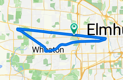
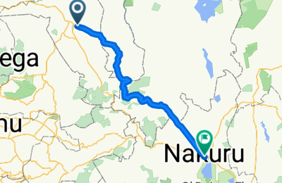
- 16.8 km
- 330 m
- 275 m
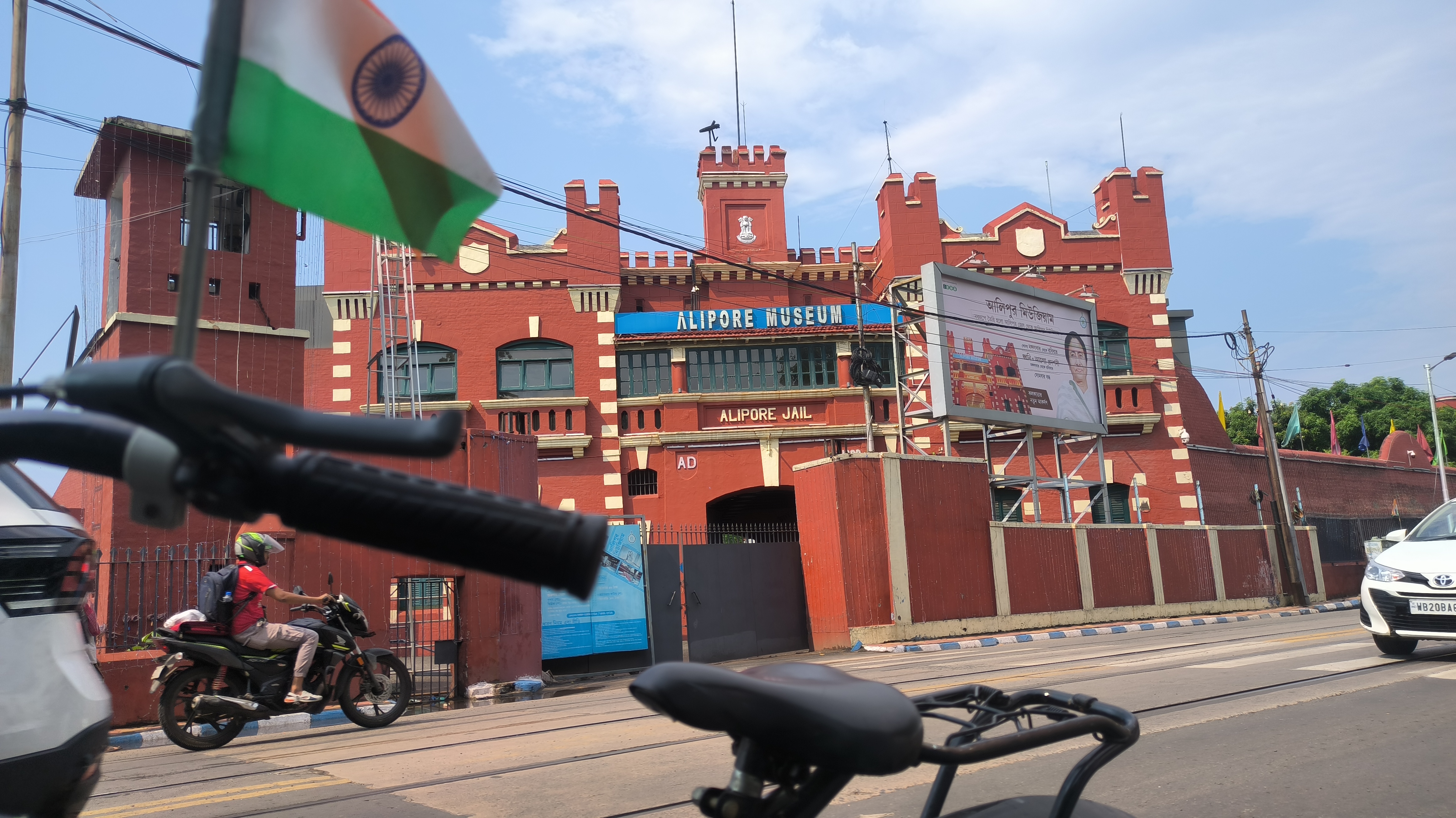
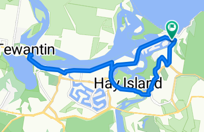
- Kolkata, West Bengal, India

Create your cycling route
Draw your cycling route on the map with full control over every detail.
Draw your cycling route
Advanced route planning tips

Effortlessly map your route
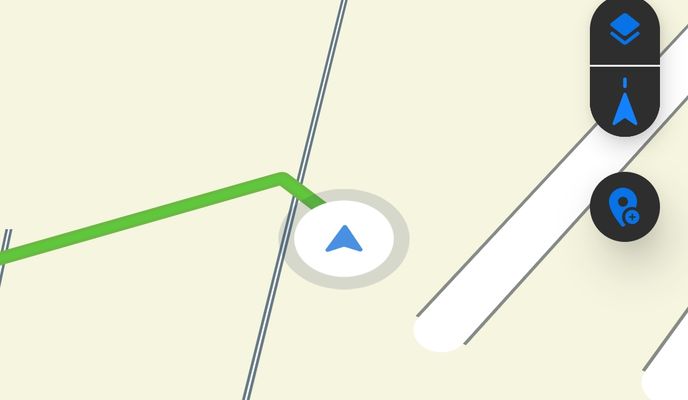
Simply click two points on the map, and our Route Planner will instantly calculate the best connection. Keep adding points, and watch as your route seamlessly follows your lead.

Switch between precision & control
Choose between "routing" for automatic path suggestions or "freehand" to draw freely. Toggle between modes in the sidebar.
- Routing – follows cycling paths, fastest routes, and bike types for seamless navigation.
- Freehand – ideal for off-road paths or fixing segments where routing isn’t available.

Easily adjust any segment
Need to modify parts of your route? Simply click on your route to set control points, then hold and drag to adjust the path between them. Refine your ride with precision.
Routing options
Plan the perfect route for your ride
Our route planner offers a variety of routing options tailored to different riding styles, preferences, and bike types. Whether you’re looking for a fast-paced road bike experience, a relaxed ride with family, a smooth and safe commute, or an adventurous mountain ride, we’ve got you covered.
Import, adjust and perfect your ride
Edit your routes with ease
Already have a route? Simply import your GPX or KML file and fine-tune it with Bikemap’s powerful drawing tools. Sync your recorded rides automatically by connecting Garmin, Wahoo, or Apple Watch — then tweak, extend, or refine them to fit your needs.

More ways to create
Plan, record & customize your routes

Record with Bikemap
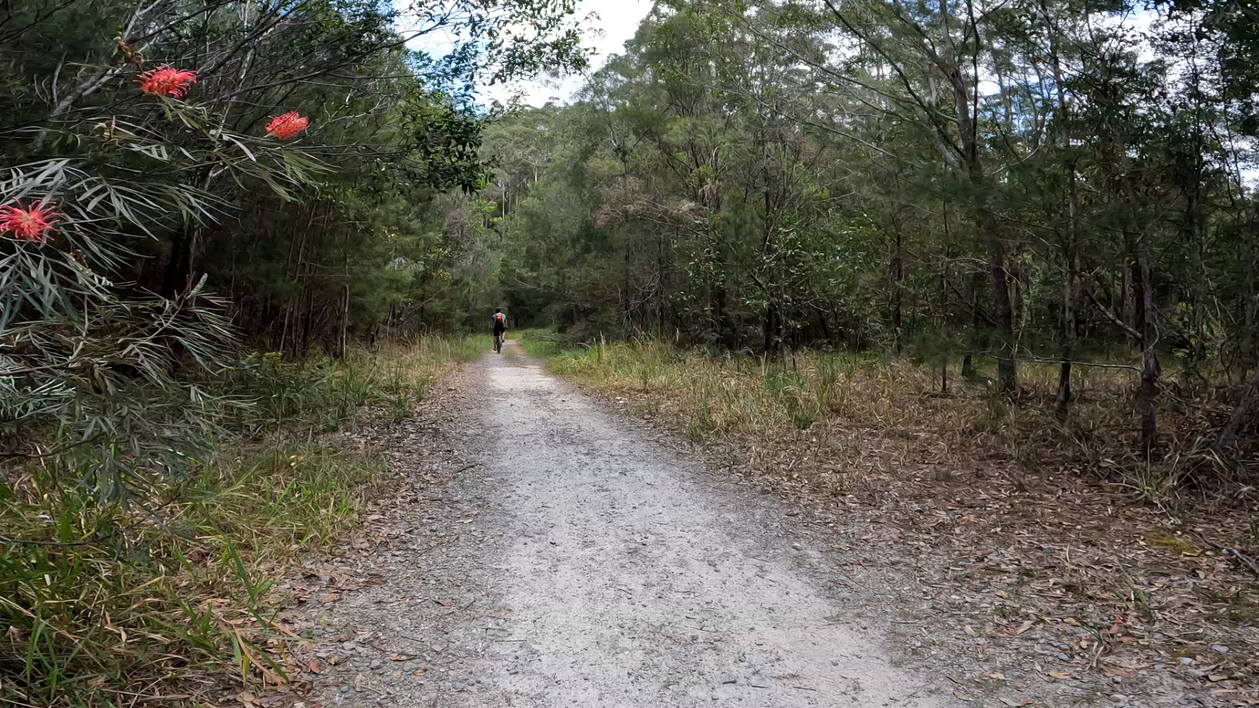
Turn your ride into a route with Bikemap’s built-in ride recording. Whether you’re exploring new paths or documenting your favorite route, our tracking tool ensures every detail is saved. Once recorded, use the Route Planner to edit, adjust, or clean up your route—fix GPS drift, refine segments, or add waypoints to perfect your ride.

Track with Garmin & Wahoo
Already tracking your rides with Garmin or Wahoo? Connect your device to Bikemap and automatically sync your recorded routes. Use the route planner to edit or clean up your ride.
Learn more about integrations
Record with your smartwatch
Whether you ride with an Apple Watch or a Wear OS smartwatch, Bikemap makes it easy to bring your recordings to life. After your ride, simply use the route planner to edit, refine, and share your journey.

Enhance your route
Make your routes more informative and memorable by adding Highlights (Points of interest) and photos directly on Bikemap after saving your route.
Join our community
Share your route
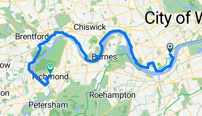
- Hunters Point, San Francisco to The Embarcadero, San Francisco

- 10 km
- 37 m
- 38 m
- San Francisco, California, United States
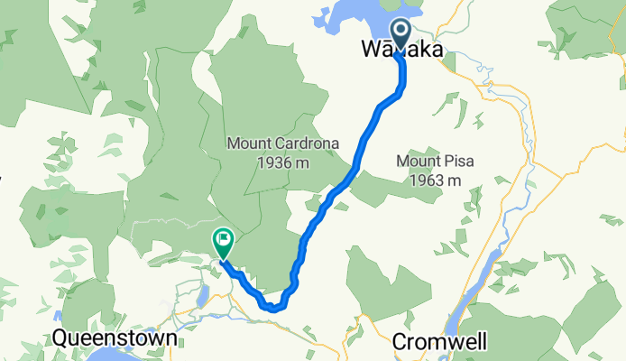
- Marias Land Loop mit Puchberg am Schneeberg - Lang

- 45.5 km
- 1,302 m
- 1,303 m
- Ternitz, Lower Austria, Austria
- De Rua Francisco Secundino Freire a Rua Francisco Secundino Freire
- 23.1 km
- 159 m
- 148 m
- Morada Nova, Ceará, Brazil
- WT, Watermead, Quainton, Waddesdon Greenway, Watermead and back

- 48.8 km
- 167 m
- 220 m
- Weston Turville, England, United Kingdom


Bikemap Explained
Learn how to make the most of Bikemap with our step-by-step tutorial videos. From planning the perfect route to navigating like a pro, our Bikemap Explained series walks you through all the features you need to elevate your cycling experience. Watch and ride with confidence!
Watch videos