
Cycling in Changwat Rayong
Discover a map of 395 cycling routes and bike trails in Changwat Rayong, created by our community.
Region portrait
Get to know Changwat Rayong
Find the right bike route for you through Changwat Rayong, where we've got 395 cycle routes to explore. Most people get on their bikes to ride here in the months of January and May.
16,643 km
Tracked distance
395
Cycle routes
Community
Most active users in Changwat Rayong


From our community
The best bike routes in Changwat Rayong

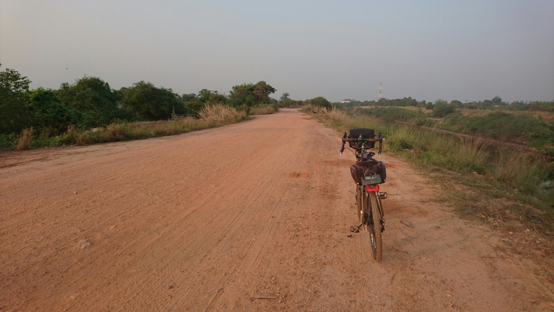
ระยอง-สาทร
Cycling route in Rayong, Changwat Rayong, Thailand
แวะฟอร์ดเอกปลวกแดงทานน้ำแดง2แก้วกาแฟ1แก้ว แวะมาบปูทานมื้อเที่ยงข้าวแกงปักษ์ใต้และกาแฟร้อน แวะซื้อน้ำอ้อยสด1ขวดที่บางนากม.45 แล้วยิงยาวถึงสาทร เหมาสัปะรด1จาน แล้วออกมาทานมื้อเย็น
- 181.1 km
- Distance
- 250 m
- Ascent
- 251 m
- Descent


ride through Rayong
Cycling route in Rayong, Changwat Rayong, Thailand
- 24.8 km
- Distance
- 37 m
- Ascent
- 37 m
- Descent


วัดเส้นทางใหม่
Cycling route in Ban Chang, Changwat Rayong, Thailand
- 42.5 km
- Distance
- 185 m
- Ascent
- 225 m
- Descent

bike tour through Amphoe Ban Khai
Cycling route in Ban Khai, Changwat Rayong, Thailand
- 21.7 km
- Distance
- 126 m
- Ascent
- 123 m
- Descent
Discover more routes
 MTS's Samersan Fish Market and Fishing Village Route
- Distance
- 40.8 km
- Ascent
- 150 m
- Descent
- 158 m
- Location
- Ban Chang, Changwat Rayong, Thailand
 ปั่นไปฟอร์ดเอกระยอง
- Distance
- 14.2 km
- Ascent
- 48 m
- Descent
- 45 m
- Location
- Rayong, Changwat Rayong, Thailand
 Hokien Noodles/Brookside Ride
- Distance
- 140.7 km
- Ascent
- 247 m
- Descent
- 248 m
- Location
- Ban Chang, Changwat Rayong, Thailand
 MTS Solo Route
- Distance
- 32.5 km
- Ascent
- 100 m
- Descent
- 97 m
- Location
- Ban Chang, Changwat Rayong, Thailand
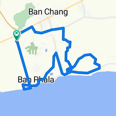
 Ban Chang-Plutaluang-Silver Lake-332-Ban Chang
- Distance
- 54.9 km
- Ascent
- 256 m
- Descent
- 253 m
- Location
- Ban Chang, Changwat Rayong, Thailand
 TH_Phala Beach - Chantaburi
- Distance
- 153.7 km
- Ascent
- 109 m
- Descent
- 113 m
- Location
- Ban Chang, Changwat Rayong, Thailand
 bike tour through อ.เมืองระยอง
- Distance
- 11.3 km
- Ascent
- 13 m
- Descent
- 17 m
- Location
- Rayong, Changwat Rayong, Thailand
 running &walking @Rayong
- Distance
- 11.2 km
- Ascent
- 12 m
- Descent
- 12 m
- Location
- Rayong, Changwat Rayong, Thailand
Cycling regions in Changwat Rayong
Klaeng
23 cycling routes
Ban Khai
22 cycling routes
Rayong
232 cycling routes
Nikhom Phattana
2 cycling routes
Wang Chan
3 cycling routes
See where people are biking in Thailand
Popular cycling regions in Thailand

