
Cycling in Canton of Solothurn
Discover a map of 5,750 cycling routes and bike trails in Canton of Solothurn, created by our community.
Region portrait
Get to know Canton of Solothurn
Find the right bike route for you through Canton of Solothurn, where we've got 5,750 cycle routes to explore. Most people get on their bikes to ride here in the months of May and July.
288,584 km
Tracked distance
5,750
Cycle routes

Handpicked routes
Discover Canton of Solothurn through these collections
From our community
The best bike routes in Canton of Solothurn
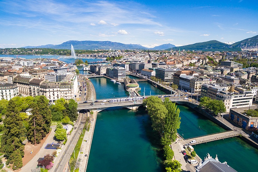

Solothurn - Genf
Cycling route in Zuchwil, Canton of Solothurn, Switzerland
- 206.2 km
- Distance
- 1,411 m
- Ascent
- 1,465 m
- Descent

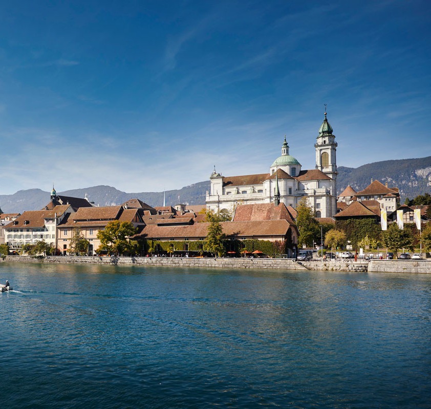
Vorberg, Weissenstein
Cycling route in Solothurn, Canton of Solothurn, Switzerland
- 20.6 km
- Distance
- 555 m
- Ascent
- 551 m
- Descent

Schelten und Chasseral
Cycling route in Oensingen, Canton of Solothurn, Switzerland
- 163.8 km
- Distance
- 1,999 m
- Ascent
- 2,000 m
- Descent

Schafmattrunde Olten
Cycling route in Olten, Canton of Solothurn, Switzerland
- 37.3 km
- Distance
- 909 m
- Ascent
- 890 m
- Descent
Discover more routes
 Tiefmatt-Rogen-Flug
- Distance
- 23.4 km
- Ascent
- 773 m
- Descent
- 774 m
- Location
- Balsthal, Canton of Solothurn, Switzerland
 Wasserfallen-Tour
- Distance
- 27.2 km
- Ascent
- 863 m
- Descent
- 865 m
- Location
- Balsthal, Canton of Solothurn, Switzerland
 2016_tt_e14
- Distance
- 58.3 km
- Ascent
- 868 m
- Descent
- 1,096 m
- Location
- Balsthal, Canton of Solothurn, Switzerland
 2016_tt_e14
- Distance
- 55.5 km
- Ascent
- 1,040 m
- Descent
- 1,229 m
- Location
- Balsthal, Canton of Solothurn, Switzerland
 Kleine Runde Bucheggberg
- Distance
- 19.4 km
- Ascent
- 222 m
- Descent
- 222 m
- Location
- Messen, Canton of Solothurn, Switzerland
 Stürmen Wasserberg Greyerle Chäsel
- Distance
- 45.9 km
- Ascent
- 1,396 m
- Descent
- 1,391 m
- Location
- Breitenbach, Canton of Solothurn, Switzerland
 Scheltenpass-Passwang-Allerheiligen-Olten
- Distance
- 51.4 km
- Ascent
- 1,216 m
- Descent
- 1,495 m
- Location
- Laupersdorf, Canton of Solothurn, Switzerland
 Moll-Treff 2025
- Distance
- 10.2 km
- Ascent
- 23 m
- Descent
- 23 m
- Location
- Solothurn, Canton of Solothurn, Switzerland
Cycling regions in Canton of Solothurn
Wolfwil
54 cycling routes
Matzendorf
36 cycling routes
Balsthal
189 cycling routes
Bettlach
80 cycling routes
Solothurn
683 cycling routes
See where people are biking in Switzerland
Popular cycling regions in Switzerland

