
Cycling in Waldrach
Discover a map of 40 cycling routes and bike trails near Waldrach, created by our community.
Region portrait
Get to know Waldrach
Find the right bike route for you through Waldrach, where we've got 40 cycle routes to explore.
3,852 km
Tracked distance
40
Cycle routes
2,015
Population

From our community
The best bike routes in and around Waldrach

Tour de Rupp I
Cycling route in Waldrach, Rhineland-Palatinate, Germany
harte Berge, schnelle Abfahrt....
- 58.2 km
- Distance
- 616 m
- Ascent
- 616 m
- Descent

Waldrach-Thomm-Fell-Longuich-Kenn-Ruwer-Waldrach
Cycling route in Waldrach, Rhineland-Palatinate, Germany
Rundkurs, 30 km, zu Beginn Anstieg von Waldrach nach Thomm über ca. 6 km mit durchschnittlich 5 % Steigung (maximal 8 %), Anschließend Abfahrt nach Fell über ca. 6 km mit durchschnittlichem Gefälle von 5% (maximal 10 %), restliche Strecke ohne nenneswerte Steigungen.
- 28.1 km
- Distance
- 396 m
- Ascent
- 396 m
- Descent
Radtour Tag 1
Cycling route in Waldrach, Rhineland-Palatinate, Germany
Von Waldrach nach Mühlheim an der Mosel
- 55.6 km
- Distance
- 282 m
- Ascent
- 329 m
- Descent

2016 Bahntrasse Ruwertal
Cycling route in Waldrach, Rhineland-Palatinate, Germany
ein Traum
nur durch unberührten Dschungel über zig Windungen der Ruwer hinweg
ein 5 Sterne Radweg,geht 38km bis Hermeskeil,den oberen Teil bin ich 2014 gefrahren
endlich Sonne und Sommerfeeling
- 42.5 km
- Distance
- 355 m
- Ascent
- 355 m
- Descent
Discover more routes
 kurze Feierabendrunde
- Distance
- 16.8 km
- Ascent
- 351 m
- Descent
- 353 m
- Location
- Waldrach, Rhineland-Palatinate, Germany
 Ruwer radweg - Reinsfeld- Talsperre Riveris - Waldrach
- Distance
- 54.5 km
- Ascent
- 508 m
- Descent
- 515 m
- Location
- Waldrach, Rhineland-Palatinate, Germany
 Bahnhofstraße 5, Waldrach nach L141, Schweich
- Distance
- 12 km
- Ascent
- 225 m
- Descent
- 323 m
- Location
- Waldrach, Rhineland-Palatinate, Germany
 Waldrach-Staustufe Detzem
- Distance
- 23 km
- Ascent
- 262 m
- Descent
- 289 m
- Location
- Waldrach, Rhineland-Palatinate, Germany
 Waldrach - Thalfang - Waldrach
- Distance
- 53.4 km
- Ascent
- 1,035 m
- Descent
- 1,041 m
- Location
- Waldrach, Rhineland-Palatinate, Germany
 Waldrach-Mandern
- Distance
- 21.2 km
- Ascent
- 583 m
- Descent
- 315 m
- Location
- Waldrach, Rhineland-Palatinate, Germany
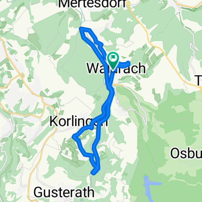
 Waldrach - Grüneberg - Waldrach
- Distance
- 33.4 km
- Ascent
- 777 m
- Descent
- 777 m
- Location
- Waldrach, Rhineland-Palatinate, Germany
 Waldrach-Thomm
- Distance
- 5.4 km
- Ascent
- 327 m
- Descent
- 56 m
- Location
- Waldrach, Rhineland-Palatinate, Germany