
Cycling in Raitenbuch
Discover a map of 11 cycling routes and bike trails near Raitenbuch, created by our community.
Region portrait
Get to know Raitenbuch
Find the right bike route for you through Raitenbuch, where we've got 11 cycle routes to explore.
278 km
Tracked distance
11
Cycle routes
1,176
Population
Community
Most active users in Raitenbuch


From our community
The best bike routes in and around Raitenbuch


Eckerleinstraße, Raitenbuch nach Geländer 1, Schernfeld
Cycling route in Raitenbuch, Bavaria, Germany
- 7.3 km
- Distance
- 117 m
- Ascent
- 138 m
- Descent


Hauptstraße 40, Raitenbuch nach Geländer 1, Schernfeld
Cycling route in Raitenbuch, Bavaria, Germany
- 8.9 km
- Distance
- 126 m
- Ascent
- 145 m
- Descent
Discover more routes
 Anlautertal - Altmühltal
- Distance
- 53.5 km
- Ascent
- 185 m
- Descent
- 353 m
- Location
- Raitenbuch, Bavaria, Germany
 Anlautertal - Altmühltal
- Distance
- 53.5 km
- Ascent
- 204 m
- Descent
- 376 m
- Location
- Raitenbuch, Bavaria, Germany
 Zeitfahren Budderercup SVM
- Distance
- 18.6 km
- Ascent
- 89 m
- Descent
- 146 m
- Location
- Raitenbuch, Bavaria, Germany
 Straße ohne Straßennamen, Raitenbuch nach Straße ohne Straßennamen, Weißenburg-Gunzenhausen
- Distance
- 7.1 km
- Ascent
- 211 m
- Descent
- 246 m
- Location
- Raitenbuch, Bavaria, Germany
 Aichmühle 1, Titting nach Morsbacher Straße 24, Titting
- Distance
- 7.7 km
- Ascent
- 33 m
- Descent
- 67 m
- Location
- Raitenbuch, Bavaria, Germany
 Kreuzfeld, Raitenbuch nach Geländer 1, Schernfeld
- Distance
- 12 km
- Ascent
- 178 m
- Descent
- 144 m
- Location
- Raitenbuch, Bavaria, Germany
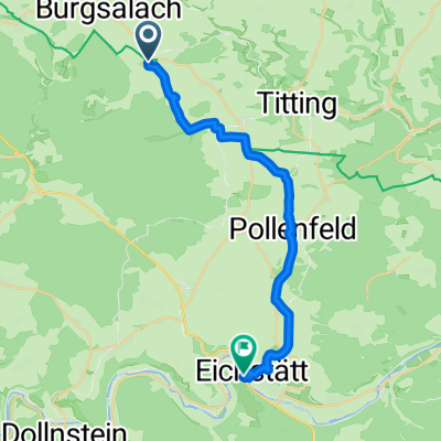 Husserweg 9, Raitenbuch nach Weißenburger Straße 6A, Eichstätt
- Distance
- 20.8 km
- Ascent
- 126 m
- Descent
- 295 m
- Location
- Raitenbuch, Bavaria, Germany