
Cycling in Irndorf
Discover a map of 15 cycling routes and bike trails near Irndorf, created by our community.
Region portrait
Get to know Irndorf
Find the right bike route for you through Irndorf, where we've got 15 cycle routes to explore.
796 km
Tracked distance
15
Cycle routes
754
Population
Community
Most active users in Irndorf


From our community
The best bike routes in and around Irndorf

Talhofrunde II
Cycling route in Irndorf, Baden-Württemberg, Germany
- 22.8 km
- Distance
- 543 m
- Ascent
- 543 m
- Descent

01-Talhof-Heuberg-Donautal
Cycling route in Irndorf, Baden-Württemberg, Germany
- 53.3 km
- Distance
- 586 m
- Ascent
- 586 m
- Descent

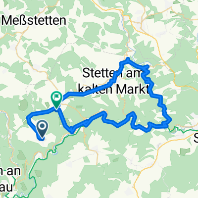
Rauher Stein - Münsingen
Cycling route in Irndorf, Baden-Württemberg, Germany
AktivitätRadfahrenDistanz110 kmErstellt2021-08-08 09:41:48Max. Tempo59,8 km/hPace (Min/Km)03:40 min/kmEnergieverbrauch23908 KJPunkte4000Ges.Tempo > 0Tempo &Oslas
- 114.6 km
- Distance
- 1,560 m
- Ascent
- 1,648 m
- Descent

Irndorf Schwenningen Nusplingen
Cycling route in Irndorf, Baden-Württemberg, Germany
- 28.3 km
- Distance
- 504 m
- Ascent
- 501 m
- Descent
Discover more routes
 Donau2 Irndorf-Mengen
- Distance
- 44.4 km
- Ascent
- 254 m
- Descent
- 517 m
- Location
- Irndorf, Baden-Württemberg, Germany
 Schwenninger Weg 5/2, Irndorf nach K8213, Schwenningen
- Distance
- 54.4 km
- Ascent
- 970 m
- Descent
- 973 m
- Location
- Irndorf, Baden-Württemberg, Germany
 Rauher Stein - Landesgestüt
- Distance
- 64.2 km
- Ascent
- 884 m
- Descent
- 1,031 m
- Location
- Irndorf, Baden-Württemberg, Germany
 Wildensteinblick 1, Irrendorf to Adenauerstraße 4, Stockach
- Distance
- 30.9 km
- Ascent
- 312 m
- Descent
- 624 m
- Location
- Irndorf, Baden-Württemberg, Germany
 Rauher Stein - Süßen RR
- Distance
- 129.6 km
- Ascent
- 1,569 m
- Descent
- 1,999 m
- Location
- Irndorf, Baden-Württemberg, Germany
 Panoramastraße 16, Irndorf nach L220 75, Konstanz
- Distance
- 62.5 km
- Ascent
- 787 m
- Descent
- 1,177 m
- Location
- Irndorf, Baden-Württemberg, Germany
 Einfache Fahrt in Beuron
- Distance
- 11.9 km
- Ascent
- 190 m
- Descent
- 387 m
- Location
- Irndorf, Baden-Württemberg, Germany
 Talhof 1, Beuron to Antonstraße 27, Sigmaringen
- Distance
- 24.8 km
- Ascent
- 556 m
- Descent
- 584 m
- Location
- Irndorf, Baden-Württemberg, Germany