
Cycling in Bruyères
Discover a map of 23 cycling routes and bike trails near Bruyères, created by our community.
Region portrait
Get to know Bruyères
Find the right bike route for you through Bruyères, where we've got 23 cycle routes to explore.
2,361 km
Tracked distance
23
Cycle routes
3,423
Population
Community
Most active users in Bruyères


From our community
The best bike routes in and around Bruyères
Herpelmont -> Col de la Schlucht -> H.
Cycling route in Bruyères, Alsace-Champagne-Ardenne-Lorraine, France
Used for Bike & Hike to the "Le Hohneck". Mostly small streets.
- 60.7 km
- Distance
- 727 m
- Ascent
- 727 m
- Descent

Herpelmont -> Lac du Gerardmer -> H.
Cycling route in Bruyères, Alsace-Champagne-Ardenne-Lorraine, France
Hin hügelig, zurück fast nur bergab. Zwischendurch netter Trail durch den Wald...
Zwischendurch ungenau durch den Wald gezeichnet...laut Höhenmesseruhr, sogar 620Hm.
(cloned from route 638588)
- 45.9 km
- Distance
- 570 m
- Ascent
- 570 m
- Descent

Herpelmont -> Lac du Gerardmer -> H.
Cycling route in Bruyères, Alsace-Champagne-Ardenne-Lorraine, France
Hin hügelig, zurück fast nur bergab. Zwischendurch netter Trail durch den Wald...
Zwischendurch ungenau durch den Wald gezeichnet...laut Höhenmesseruhr, sogar 620Hm.
- 45.9 km
- Distance
- 561 m
- Ascent
- 561 m
- Descent

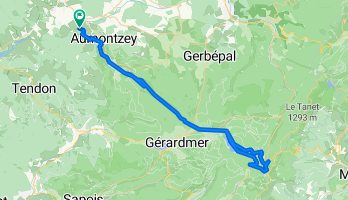
20150717_102754.gpx
Cycling route in Bruyères, Alsace-Champagne-Ardenne-Lorraine, France
TEASI track
- 9.6 km
- Distance
- 60 m
- Ascent
- 50 m
- Descent
Discover more routes
 marine et laurent itineraire
- Distance
- 820 km
- Ascent
- 1,342 m
- Descent
- 1,331 m
- Location
- Bruyères, Alsace-Champagne-Ardenne-Lorraine, France
 Grandvillers 30 km 600hm
- Distance
- 40.9 km
- Ascent
- 529 m
- Descent
- 533 m
- Location
- Bruyères, Alsace-Champagne-Ardenne-Lorraine, France
 De Place Stanislas 44, Bruyères à Place Stanislas 48, Bruyères
- Distance
- 25.7 km
- Ascent
- 1,049 m
- Descent
- 1,048 m
- Location
- Bruyères, Alsace-Champagne-Ardenne-Lorraine, France
 van Herpelmont naar Bruyeres
- Distance
- 14 km
- Ascent
- 78 m
- Descent
- 79 m
- Location
- Bruyères, Alsace-Champagne-Ardenne-Lorraine, France
 sep23a Gra-Cha
- Distance
- 115.3 km
- Ascent
- 1,510 m
- Descent
- 1,601 m
- Location
- Bruyères, Alsace-Champagne-Ardenne-Lorraine, France
 bruyere/panche des belles/filles
- Distance
- 198.8 km
- Ascent
- 5,933 m
- Descent
- 5,349 m
- Location
- Bruyères, Alsace-Champagne-Ardenne-Lorraine, France
 20150715_112153.gpx
- Distance
- 10.1 km
- Ascent
- 93 m
- Descent
- 93 m
- Location
- Bruyères, Alsace-Champagne-Ardenne-Lorraine, France
 De Place Stanislas 34T, Bruyères à Place Stanislas 34T, Bruyères
- Distance
- 18.7 km
- Ascent
- 700 m
- Descent
- 700 m
- Location
- Bruyères, Alsace-Champagne-Ardenne-Lorraine, France