
Cycling in Trentino-Alto Adige
Discover a map of 57,586 cycling routes and bike trails in Trentino-Alto Adige, created by our community.
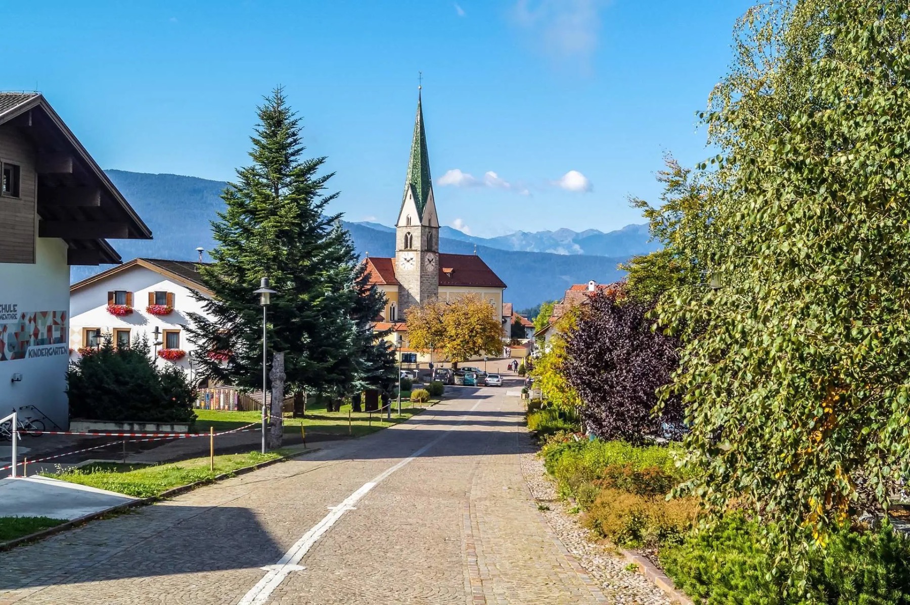
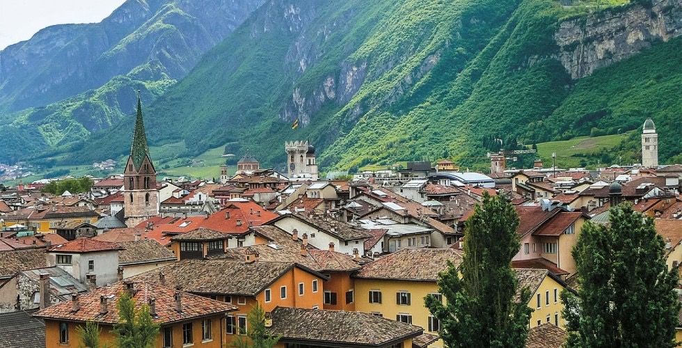
Region portrait
Get to know Trentino-Alto Adige
Find the right bike route for you through Trentino-Alto Adige, where we've got 57,586 cycle routes to explore. Most people get on their bikes to ride here in the months of July and August.
4,472,254 km
Tracked distance
57,586
Cycle routes
Community
Most active users in Trentino-Alto Adige


Handpicked routes
Discover Trentino-Alto Adige through these collections
From our community
The best bike routes in Trentino-Alto Adige

Antholzer Höhentour ab Olang
Cycling route in Olang, Trentino-Alto Adige, Italy
- 37 km
- Distance
- 1,461 m
- Ascent
- 1,181 m
- Descent

Stilfserjoch und Umbrailpass
Cycling route in Graun im Vinschgau, Trentino-Alto Adige, Italy
- 106 km
- Distance
- 2,505 m
- Ascent
- 2,507 m
- Descent


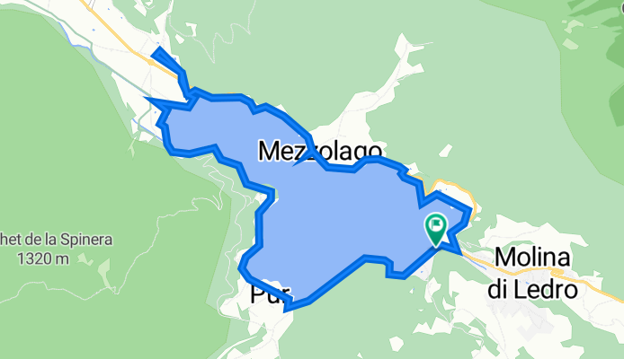
wunderschöne Tour um den Ledro See
Cycling route in Molina di Ledro, Trentino-Alto Adige, Italy
- 10.6 km
- Distance
- 87 m
- Ascent
- 90 m
- Descent


Via Lungo Sarca 30, Linfano nach Via Lungo Sarca 30, Linfano
Cycling route in Torbole sul Garda, Trentino-Alto Adige, Italy
- 51.8 km
- Distance
- 39 m
- Ascent
- 11 m
- Descent
From our editors
Top cycle routes in and around Trentino-Alto Adige

The Adige Valley Cycle Path from Innsbruck to Bolzano leads through the Austrian and the Italian South Tyrol, taking in some astonishing Alpine scenery along the way. Following the Inn river at first, you’ll pass Imst and Landeck before approaching the Austrian-Italian border. Reschenpass at Nauders marks the highest point of this route but is manageable for most cyclists. Besides, it’s mostly downhill from here – past the sunken village in the Reschen lake, where the steeple of a church rises from the otherwise undisturbed surface. Continuing on Italian ground along the Adige river, the ancient Roman trade route Via Augusta will take you through the spa town of Merano and the region's capital, Bolzano. If you find yourself at your destination with enough energy to push on, Kalterer lake is a great tip for a refreshing swim in summer.
- Bolzano-Innsbruck


- Distance
- 129.2 km
- Ascent
- 1,250 m
- Descent
- 922 m
- Location
- Bolzano, Trentino-Alto Adige, Italy
- Reschenpass/Stilfserjoch/Reschenpass

- Distance
- 106.1 km
- Ascent
- 2,413 m
- Descent
- 2,424 m
- Location
- Graun im Vinschgau, Trentino-Alto Adige, Italy
- Alto Adige + Termeno

- Distance
- 48.1 km
- Ascent
- 656 m
- Descent
- 656 m
- Location
- Cornaiano, Trentino-Alto Adige, Italy
- bolzano-innsbruck-bolzano

- Distance
- 438.3 km
- Ascent
- 3,198 m
- Descent
- 3,198 m
- Location
- Bolzano, Trentino-Alto Adige, Italy
- BOLZANO GIOVO VIPITENO PENNES BOLZANO

- Distance
- 154 km
- Ascent
- 2,952 m
- Descent
- 2,953 m
- Location
- Cornaiano, Trentino-Alto Adige, Italy


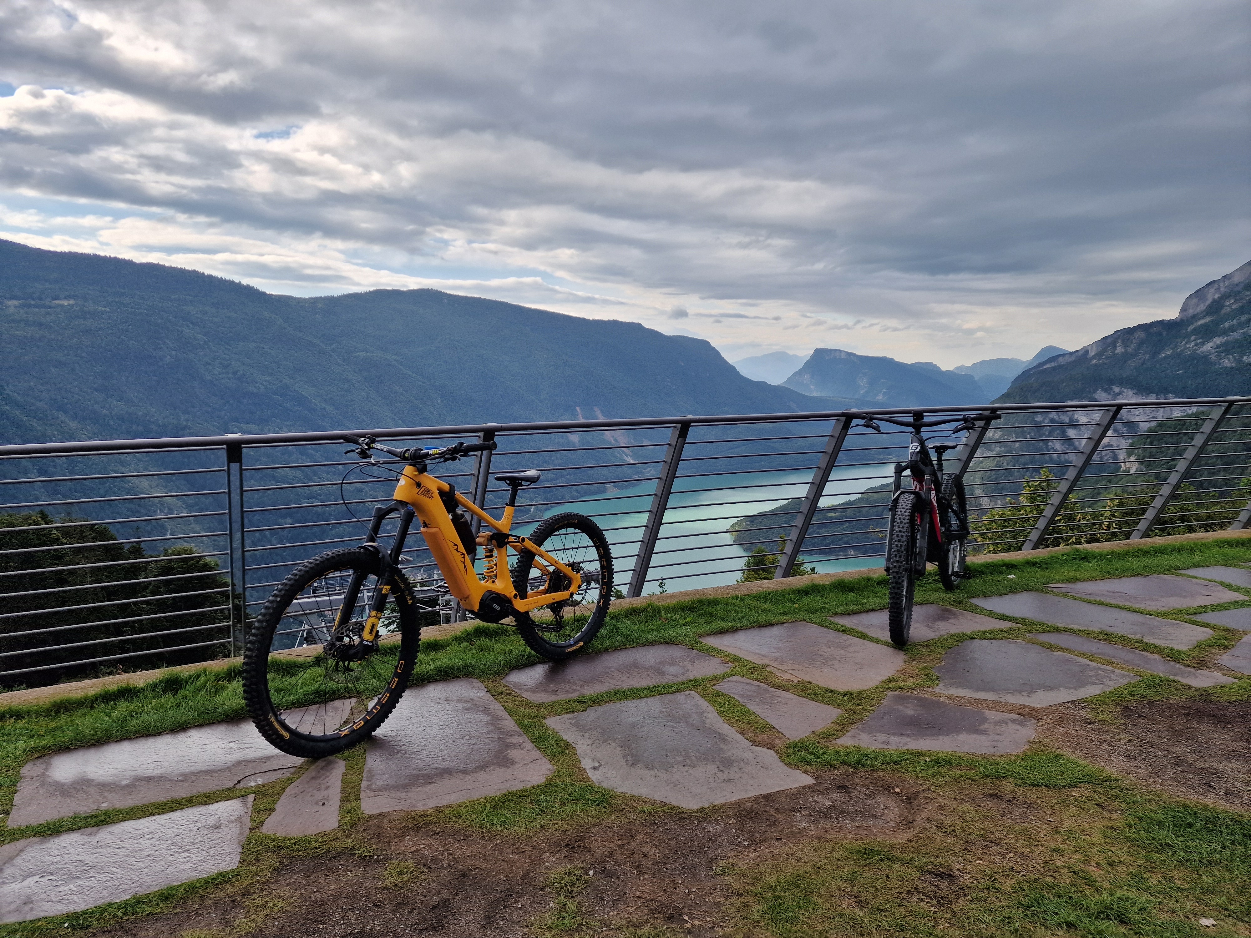
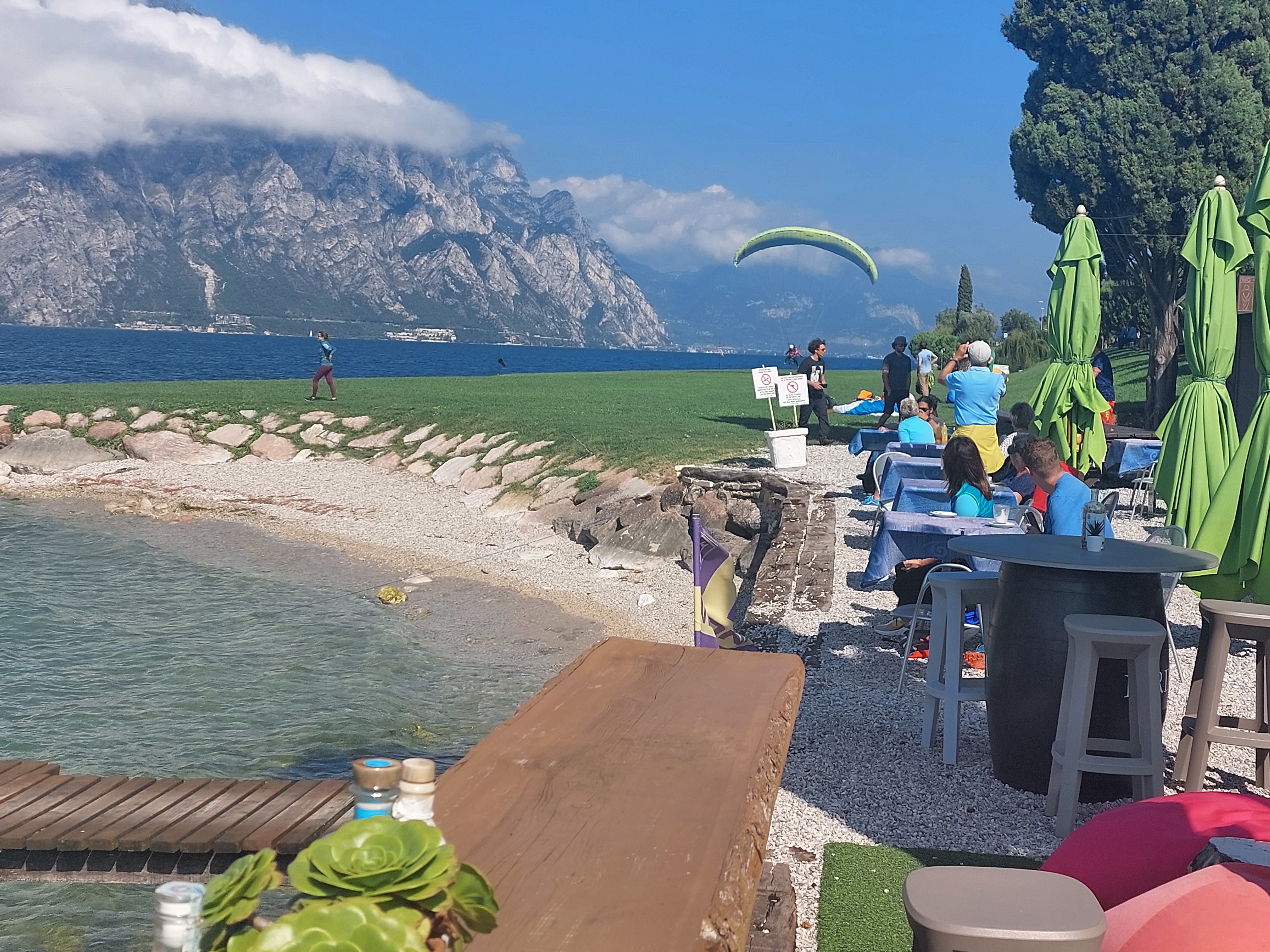
Gentle rides with great views await at the north shore of resort destination Lake Garda. Cycle path Garda Trentino no. 8, for example, is an 18 km (11 miles) long easy bike route connecting Riva del Garda and Torbole. Cyclists of all ages and abilities are sure to enjoy this gentle path along the lake shore and surrounding country. Continuing through the town of Nago, there's a short ascent through the vineyards up to Passo di San Giovanni at an elevation of 210 m (689 ft) before you cycle back downhill to Mori.
Featured routes around Lake Garda
- Nago - Monte Velo -Nago

- Distance
- 44.7 km
- Ascent
- 1,142 m
- Descent
- 1,128 m
- Location
- Nago–Torbole, Trentino-Alto Adige, Italy
- Garda Lake - Randonneur Circuit - Short Course

- Distance
- 146.4 km
- Ascent
- 772 m
- Descent
- 771 m
- Location
- Desenzano del Garda, Lombardy, Italy
- Riva del Garda - Monte Baldo

- Distance
- 64.7 km
- Ascent
- 2,146 m
- Descent
- 2,153 m
- Location
- Riva del Garda, Trentino-Alto Adige, Italy
- Riva del Garda - Bocca Larici

- Distance
- 19.4 km
- Ascent
- 1,446 m
- Descent
- 1,454 m
- Location
- Riva del Garda, Trentino-Alto Adige, Italy
- Nago, Brentonico, Monte Altissimo

- Distance
- 51.8 km
- Ascent
- 1,921 m
- Descent
- 1,921 m
- Location
- Nago–Torbole, Trentino-Alto Adige, Italy
- MTB Garda Day 1 - Ledro-Riva del Garda-Torbole-Sarche-Riva del Garda


- Distance
- 76.6 km
- Ascent
- 388 m
- Descent
- 979 m
- Location
- Pieve di Ledro, Trentino-Alto Adige, Italy
- Riva del Garda-Torbole-Nago-Val del Diaol-Nago-Torbole-Riva del Garda

- Distance
- 17.2 km
- Ascent
- 495 m
- Descent
- 497 m
- Location
- Riva del Garda, Trentino-Alto Adige, Italy

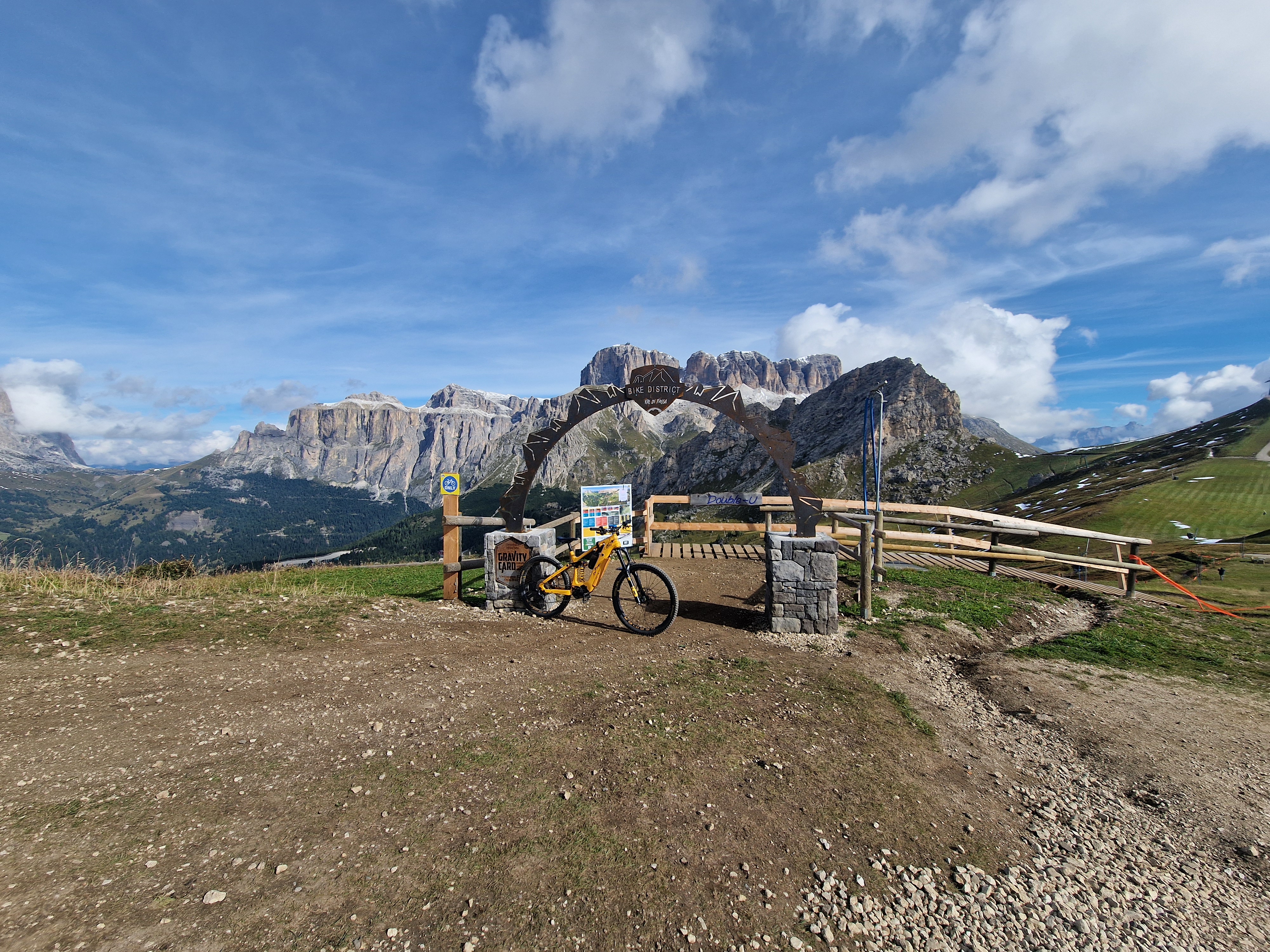
The Lunga Via delle Dolomiti (the long road of the Dolomites) follows the path of an old train line which links Toblach (Dobbiaco) in South Tyrol with Cortina d’Ampezzo and Calalzo di Cadore in Veneto. There are ten original train tunnels, many bridges and some beautiful old train stations along the 66 km (41 miles) long route. The natural views of the Dolomites are stunning – this may well be Italy’s most scenic cycle path. The south part of the route is paved but the north is partly gravel. At the border between South Tyrol and Belluno, you'll reach Passo Gimabanche after a 300 m (984 ft) climb from either side. The rest of the route is pretty flat – some stretches are used for cross-country skiing in winter.
- Passo Manghen-Passo Redebus

- Distance
- 106.7 km
- Ascent
- 2,695 m
- Descent
- 2,721 m
- Location
- Levico Terme, Trentino-Alto Adige, Italy
- Giro delle dolomiti di sesto

- Distance
- 88.9 km
- Ascent
- 2,017 m
- Descent
- 1,943 m
- Location
- Auronzo di Cadore, Veneto, Italy
- Toblach- Tre Croci- Cimabanche-Toblach


- Distance
- 65 km
- Ascent
- 1,008 m
- Descent
- 1,007 m
- Location
- Toblach, Trentino-Alto Adige, Italy
- Giro delle Dolomiti del Brenta


- Distance
- 136 km
- Ascent
- 2,175 m
- Descent
- 2,154 m
- Location
- Spormaggiore, Trentino-Alto Adige, Italy
- Lunga Via delle Dolomiti


- Distance
- 64 km
- Ascent
- 423 m
- Descent
- 840 m
- Location
- Toblach, Trentino-Alto Adige, Italy
- Maratona delle dolomiti


- Distance
- 138.4 km
- Ascent
- 3,620 m
- Descent
- 3,532 m
- Location
- Abtei-Badia, Trentino-Alto Adige, Italy
- Nel cuore delle Dolomiti

- Distance
- 87.7 km
- Ascent
- 1,672 m
- Descent
- 1,662 m
- Location
- Sexten, Trentino-Alto Adige, Italy


Various long-distance cycle routes pass through the valleys of Trentino and Alto Adige. There is the Ciclopista del Sole, which is part of the EuroVelo 7, an ambitious route slicing north-south through all of Europe. Its Italian section, not surprisingly, leads to Rome, and beyond. The Romans also built the first road across the Alps, Via Claudia Augusta, which will take you north to and or south to Veneto or Verona and the Po. From here, you can continue to the EuroVelo 8, which runs close to the Mediterranean coast from to Cyprus.
Featured long-distance routes
- Ciclopista del sole peschiera modena bomporto

- Distance
- 171.3 km
- Ascent
- 27 m
- Descent
- 78 m
- Location
- Peschiera del Garda, Veneto, Italy
- Ciclopista del Sole (eurovelo 7) - Part 5

- Distance
- 64.5 km
- Ascent
- 280 m
- Descent
- 356 m
- Location
- Avio, Trentino-Alto Adige, Italy
- Ciclopista del Sole (eurovelo 7) - Part 9

- Distance
- 298.6 km
- Ascent
- 843 m
- Descent
- 901 m
- Location
- Penna in Teverina, Umbria, Italy
- Ciclopista del Sole (eurovelo 7) - Part 7

- Distance
- 208.1 km
- Ascent
- 954 m
- Descent
- 1,368 m
- Location
- Sambuca Pistoiese, Tuscany, Italy
- ciclopista del sole tratto bressanone/ bolzano


- Distance
- 44.4 km
- Ascent
- 196 m
- Descent
- 504 m
- Location
- Brixen, Trentino-Alto Adige, Italy
- Eurovelo 7


- Distance
- 2,087.5 km
- Ascent
- 1,535 m
- Descent
- 1,965 m
- Location
- Krakow am See, Mecklenburg-Vorpommern, Germany


Blessed with a mild climate and 300 days of sunshine a year, Merano is a well-known spa town. You can join the Adige Valley Cycle Path to Bolzano or to the north from here. It's also a great base for bike tours in the surrounding mountains. The road bike highlights include three high mountain passes: Passo del Rombo (Timmelsjoch) across the Ötztal Alps between and , Passo di Monte Giovo (Jaufenpass) and the nearby Passo delle Palade (Gampenpass). Among the many specialties of Alto Adige is the local grape, Schiava, so be sure to sample some wine from the surrounding vineyards.
- Latsch - Meran - Gampenpass -Latsch


- Distance
- 107 km
- Ascent
- 1,654 m
- Descent
- 1,654 m
- Location
- Latsch, Trentino-Alto Adige, Italy


Discover more routes
 CULTURBIKE - Kulturradfahren
- Distance
- 101.1 km
- Ascent
- 600 m
- Descent
- 672 m
- Location
- Bolzano, Trentino-Alto Adige, Italy
 Tremalzo - 1°
- Distance
- 47.7 km
- Ascent
- 1,928 m
- Descent
- 1,928 m
- Location
- Molina di Ledro, Trentino-Alto Adige, Italy
 Toblach to Brixen - etappe 1 tdf 2025
- Distance
- 75 km
- Ascent
- 1,408 m
- Descent
- 2,062 m
- Location
- Toblach, Trentino-Alto Adige, Italy
 Bolzano to Trento - etappe 3 tdf 2025
- Distance
- 73.5 km
- Ascent
- 663 m
- Descent
- 612 m
- Location
- Bolzano, Trentino-Alto Adige, Italy
 Pista ciclabile dell'Adige
- Distance
- 52.7 km
- Ascent
- 68 m
- Descent
- 136 m
- Location
- Trento, Trentino-Alto Adige, Italy
 10 Innichen --- Unterpirkach
- Distance
- 56.2 km
- Ascent
- 9 m
- Descent
- 520 m
- Location
- Sexten, Trentino-Alto Adige, Italy
 Lago di Toblino
- Distance
- 52.2 km
- Ascent
- 238 m
- Descent
- 240 m
- Location
- Riva del Garda, Trentino-Alto Adige, Italy
 Viale Venezia, Bolzano a Viale Venezia, Bolzano
- Distance
- 44.2 km
- Ascent
- 451 m
- Descent
- 450 m
- Location
- Bolzano, Trentino-Alto Adige, Italy
Cycling regions in Trentino-Alto Adige
Bolzano
2,597 cycling routes
Schlanders
437 cycling routes
Ratschings
79 cycling routes
Denno
4 cycling routes
See where people are biking in Italy


