
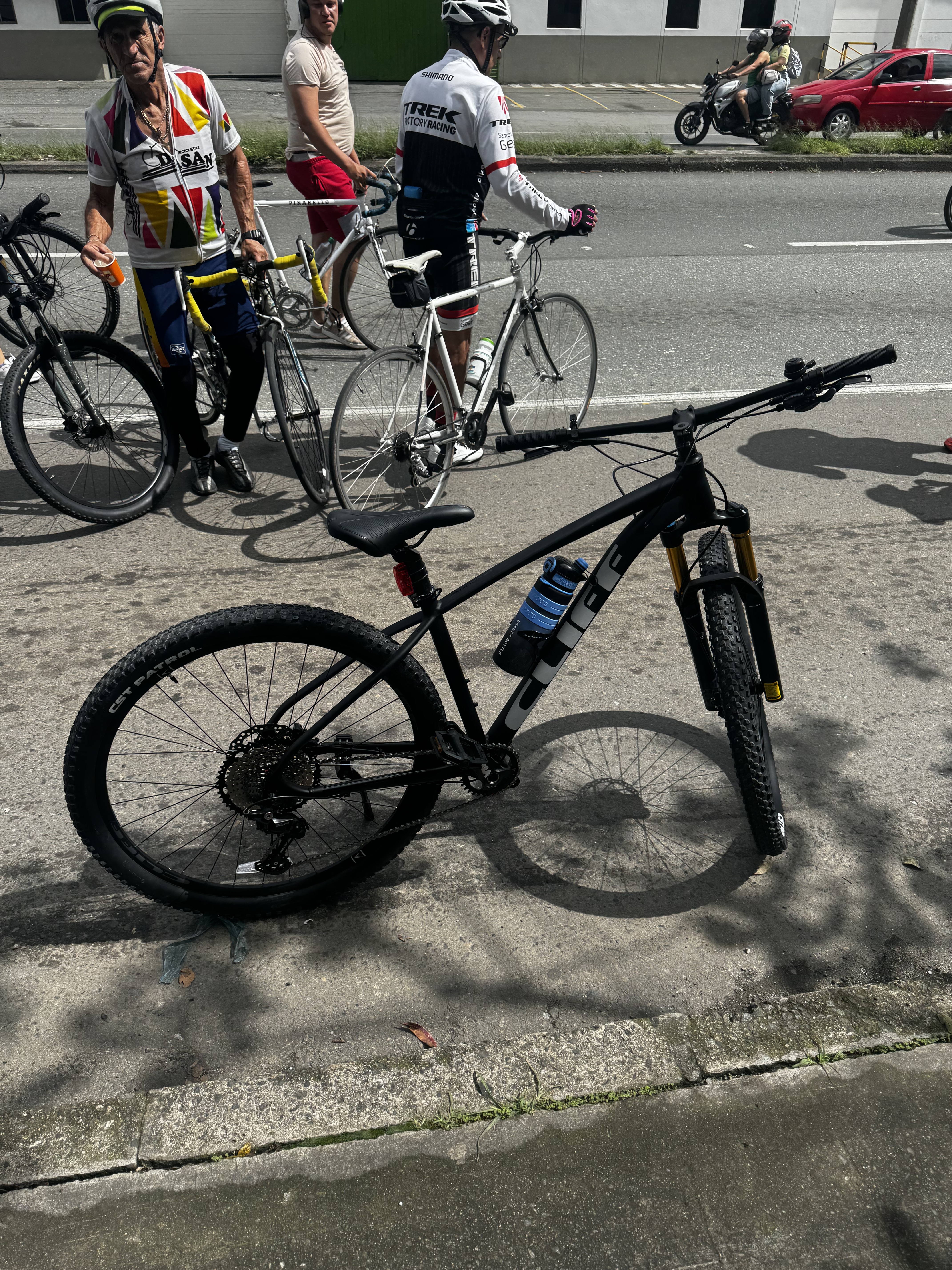
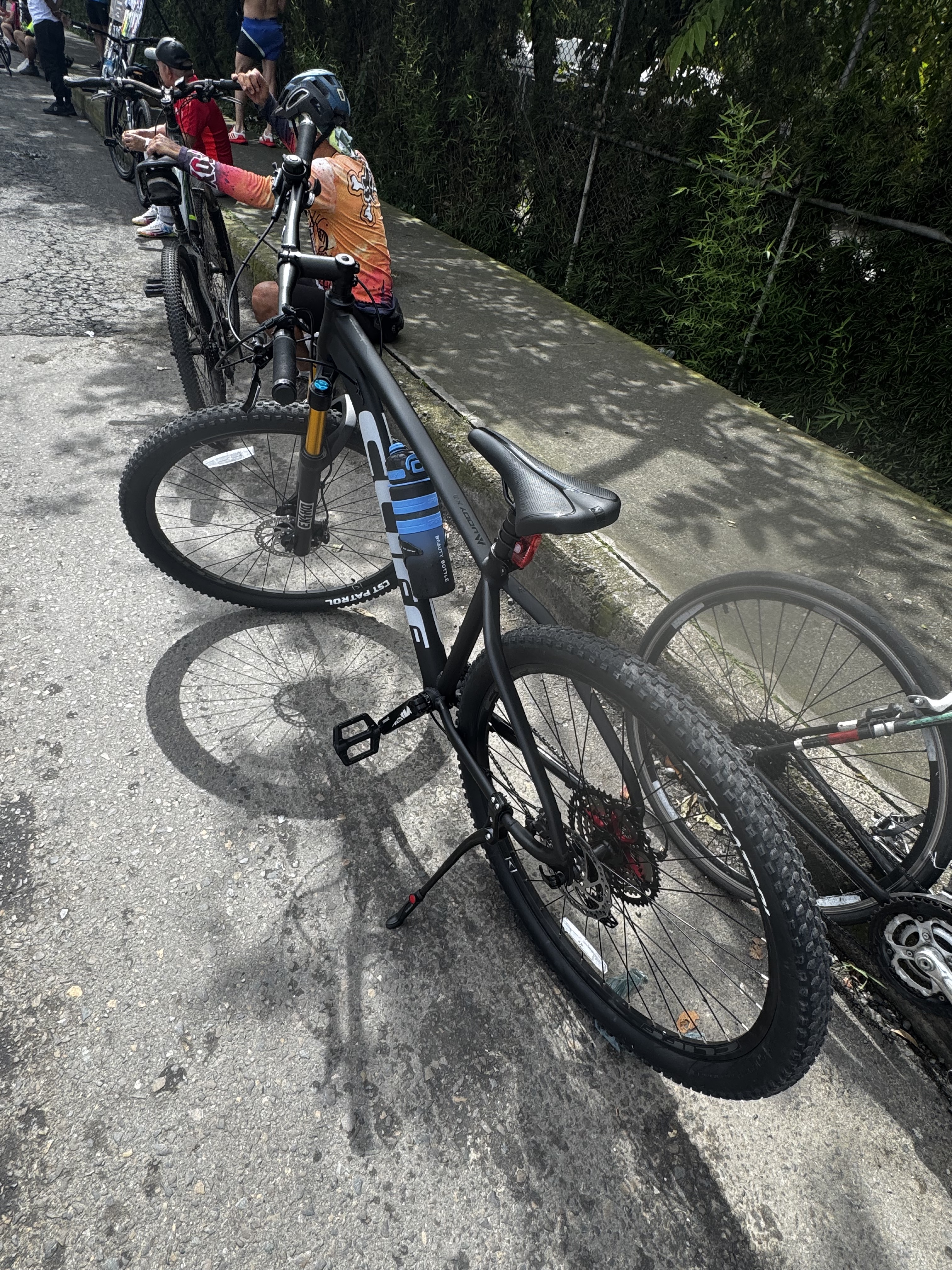
Cycling in Colombia
Discover a map of 54,860 cycling routes and bike trails in Colombia, created by our community.
Region portrait
Get to know Colombia
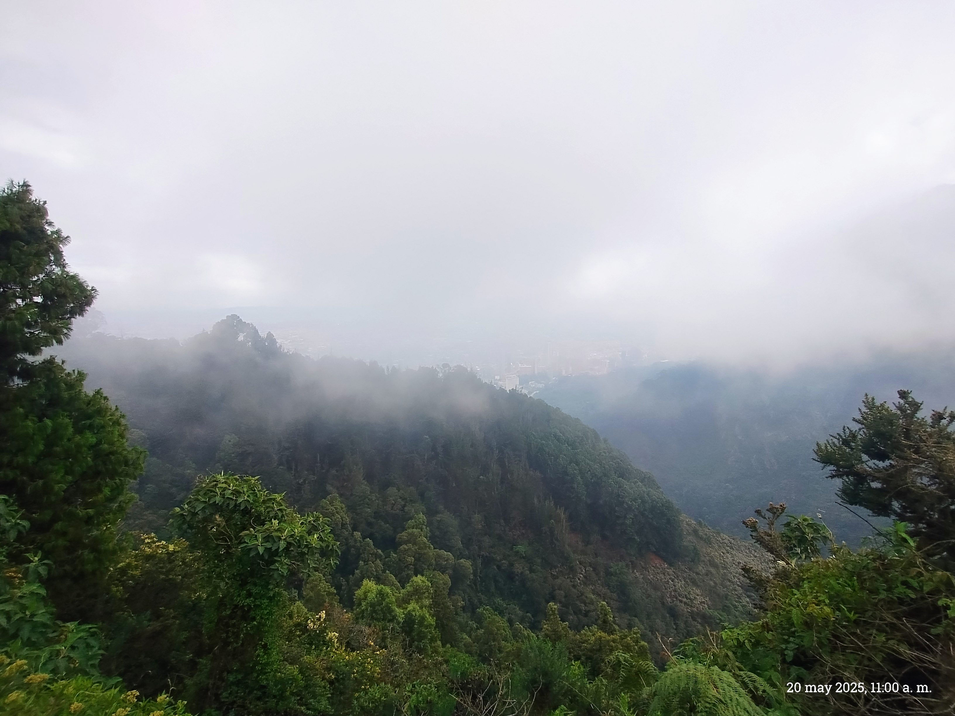
Find and create bike routes through Columbia with the bike route planner: Columbia is located in South America’s Northwest and is home to the world’s second largest spanish-speaking population. Its kind people and ancient pre-hispanic history are captivate. Columbia is a country of extreme opposites, there are snow covered volcanoes and the Andes as well as tropical beaches and wide steppe landscapes.
1,754,488 km
Tracked distance
54,860
Cycle routes
47.8 million
Population
Community
Most active users in Colombia


Handpicked routes
Discover Colombia through these collections
From our community
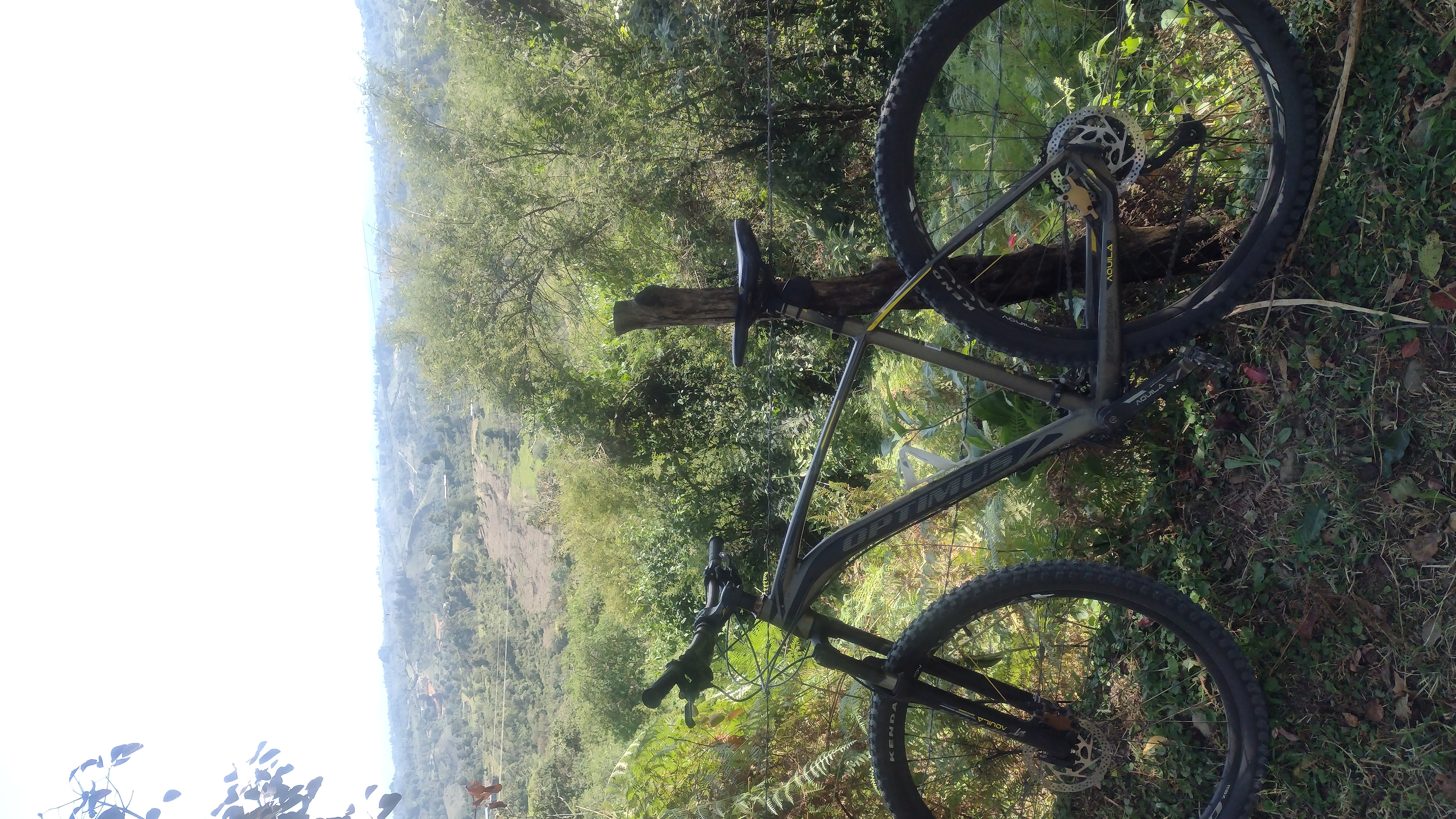
The best bike routes in Colombia

Calle 2C, Medellín a Calle 2C, Medellín
Cycling route in Itagüí, Antioquia, Colombia
- 17 km
- Distance
- 135 m
- Ascent
- 134 m
- Descent


la florida .... plan el manzano bajo ....el manzano alto la florida
Cycling route in Filandia, Quindío Department, Colombia
- 8.1 km
- Distance
- 741 m
- Ascent
- 760 m
- Descent


Calle 42, Bogotá a Avenida Calle 134, Bogotá
Cycling route in Bogotá, Bogota D.C., Colombia
- 13.3 km
- Distance
- 132 m
- Ascent
- 137 m
- Descent

Cali (Menga) - Dapa
Cycling route in Yumbo, Departamento del Valle del Cauca, Colombia
- 10.2 km
- Distance
- 752 m
- Ascent
- 55 m
- Descent
Discover more routes
 Bogota - Viota - Girardot- Ibague - Toche - Salento
- Distance
- 358.9 km
- Ascent
- 3,835 m
- Descent
- 4,515 m
- Location
- Bogotá, Bogota D.C., Colombia
 Valeria - Vía Agelópolis - Caldas
- Distance
- 11 km
- Ascent
- 360 m
- Descent
- 356 m
- Location
- Caldas, Antioquia, Colombia
 De Carrera 53d # 4C-30, Bogotá, D.C. a Calle 5a # 53D-35, Bogotá, D.C.
- Distance
- 54.2 km
- Ascent
- 1,304 m
- Descent
- 1,328 m
- Location
- Bogotá, Bogota D.C., Colombia
 Bogota - villadeleyva
- Distance
- 213.6 km
- Ascent
- 1,459 m
- Descent
- 1,812 m
- Location
- Barrio San Luis, Bogota D.C., Colombia
 Carrera 78K Bis A, Bogotá a Carrera 38A, Bogotá
- Distance
- 10.2 km
- Ascent
- 14 m
- Descent
- 14 m
- Location
- Soacha, Cundinamarca, Colombia
 Lgrands - Terraplaza - Clarete 2
- Distance
- 21.2 km
- Ascent
- 459 m
- Descent
- 500 m
- Location
- Popayán, Departamento del Cauca, Colombia
 LGrands - Terraplaza - Clarete
- Distance
- 21 km
- Ascent
- 422 m
- Descent
- 440 m
- Location
- Popayán, Departamento del Cauca, Colombia
 Chia Tabio Tenjo Chia Nivel 2
- Distance
- 31.7 km
- Ascent
- 361 m
- Descent
- 362 m
- Location
- Chía, Cundinamarca, Colombia
Highlights
- A bike tour in the scenically enticing surroundings of Villa de Leyvas. There, you can also visit numerous sites: Firstly, the archeological site “Infiernito”, the former monastery Ecce Homo and the small city Sutamarchan.
- Explore San Augustin by bike. Many thousand years ago, Indian tribes lived in the neighbouring river valleys of the Magdalena and the Cauca river. Today, antique sculptures prove these people's’ presence, many of the statues are anthropomorphic figures similar to masked monsters.
- Situated in a narrow valley, Medellin’s skyline rises up to the sky and the modern skyscrapers and office buildings contrast the surrounding mountains’ jagged peaks. There are also great mountain bike routes.
Tips
- Learn to understand the Colombian currency. The Colombian Peso is counted in mil (Spanish for thousand). A cappuccino can thus cost 5,000 - that means, it costs 5 mil.
- Never walk through Bogota alone during the night.
- It is advisable to bring change when touring through the inland. Especially smaller shops in remote areas often can’t change large bills.
See where people are biking in Colombia
Popular cycling regions in Colombia

