
Cycling in Heyfield
Discover a map of 21 cycling routes and bike trails near Heyfield, created by our community.
Region portrait
Get to know Heyfield
Find the right bike route for you through Heyfield, where we've got 21 cycle routes to explore.
1,091 km
Tracked distance
21
Cycle routes
2,024
Population
Community
Most active users in Heyfield


From our community
The best bike routes in and around Heyfield

Grand Ridge Road 190km
Cycling route in Heyfield, Victoria, Australia
Rosedale to Warragul. Completed in 3 days on MTB. A mixture of sealed and unsealed roads.
- 187.3 km
- Distance
- 3,914 m
- Ascent
- 3,822 m
- Descent

GVBR 2012 Day 4 - Rosedale to Traralgon
Cycling route in Heyfield, Victoria, Australia
- 83.8 km
- Distance
- 870 m
- Ascent
- 848 m
- Descent

Glenmaggie-Heyfield Loop
Cycling route in Heyfield, Victoria, Australia
Glenmaggie-Heyfield Loop
- 97.2 km
- Distance
- 300 m
- Ascent
- 300 m
- Descent

Discover more routes
 Maffra to Traralgon
- Distance
- 56.8 km
- Ascent
- 162 m
- Descent
- 145 m
- Location
- Heyfield, Victoria, Australia
 Heyfield-Glenmaggie-Briagolong Loop
- Distance
- 137.1 km
- Ascent
- 341 m
- Descent
- 341 m
- Location
- Heyfield, Victoria, Australia
 Llowalong-Briag-Newry Loop
- Distance
- 69.9 km
- Ascent
- 161 m
- Descent
- 158 m
- Location
- Heyfield, Victoria, Australia
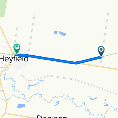 Gippsland Plains Rail Trail, Heyfield to Mary Street 17-19, Heyfield
- Distance
- 4.9 km
- Ascent
- 21 m
- Descent
- 25 m
- Location
- Heyfield, Victoria, Australia
 MacKay Street 75, Rosedale to Cansick Street 58, Rosedale
- Distance
- 144.4 km
- Ascent
- 435 m
- Descent
- 434 m
- Location
- Heyfield, Victoria, Australia
 MAFFRA
- Distance
- 22.8 km
- Ascent
- 92 m
- Descent
- 91 m
- Location
- Heyfield, Victoria, Australia
 73km Cowwarr near Traralgon
- Distance
- 73.2 km
- Ascent
- 2,079 m
- Descent
- 2,089 m
- Location
- Heyfield, Victoria, Australia
 MAFRA TIP
- Distance
- 13.6 km
- Ascent
- 115 m
- Descent
- 112 m
- Location
- Heyfield, Victoria, Australia