Cycling Route in Marienberg, Saxony, Germany
Berg&Tal
1

Open this route in the Bikemap app

Open this route in Bikemap Web
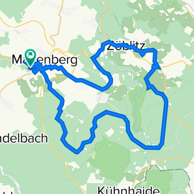
39
km
Distance
Distance
699
m
Ascent
Ascent
701
m
Descent
Descent
-:--
h
Duration
Duration
--
km/h
Avg. Speed
Avg. Speed
720
m
Max. Elevation
Max. Elevation