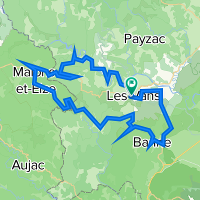
Premium Badge Download on the App Store Get it on Google Play Turn-by-turn Navigation Offline Maps Bike Type Optimized Routing Premium Maps Custom Bike Computer Export Routes Route Previews Fall Detection Premium Support

Cycling Route in Les Vans, Auvergne-Rh么ne-Alpes, France

Mi 17.8.22 Route de Cevennol

1
Open this route in the Bikemap app

Open this route in the Bikemap app

Open this route in Bikemap Web

Open this route in Bikemap Web

115 km
Distance
3181 m
Ascent
3194 m
Descent
-:-- h
Duration
-- km/h
Avg. Speed
1175 m
Max. Elevation

About This Route

Les Vans - Les Vans; Col de Teste Rouge 1079 Hm, Col du Chap del Bosc 1169 Hm, Col du Mas de L`Ayre 846 Hm, Mittagspause in La Bastide km 60

This cycling route is ideal for: Road bike

You will cycle on the following surfaces: Paved

Customize this cycling route with the Bikemap route planner.

Make it yours!

Did you know? You can use this route as a template in our cycling route planner if you don't wish to start from scratch. Customize it based on your needs to plan your perfect cycling tour.

Open it in the app