Premium Badge Download on the App Store Get it on Google Play Turn-by-turn Navigation Offline Maps Bike Type Optimized Routing Premium Maps Custom Bike Computer Export Routes Route Previews Fall Detection Premium Support

Cycling Route in Stuttgart, Baden-Württemberg, Germany

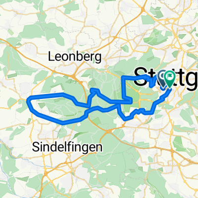
ADFC- Neubürgertour Stuttgart-Süd, Version 1

0
Open this route in the Bikemap app

Open this route in the Bikemap app

Open this route in Bikemap Web

Open this route in Bikemap Web

23 km
Distance
438 m
Ascent
420 m
Descent
-:-- h
Duration
-- km/h
Avg. Speed
--- m
Max. Elevation

About This Route

Im Stadtbezirk Stuttgart-Süd sind Steigungen unvermeidbar, außer auf dem Tallängsweg, der eine relativ gemäßigte Verbindung nach Vaihingen dastellt. Andererseits bietet der Stuttgarter Süden jede Menge wunderbarer Ausblicke mit Restaurationen, bei denen man auch eine Erfrischungspause einlegen kann.

Die Tour beginnt in dieser Version in S-Mitte beim Kunstgebäude/ Künstlercafé Jan und endet nach einem letzten Höhepunkt auf der Karlshöhe (Erfrisachung im Sommer mit schattiger Aussicht) auf dem Marienplatz. Von dort kann der müde Radler, wenn er auf die Höhe muss, die Zacke nutzen.

This cycling route is ideal for: MTB

You will cycle on the following surfaces: Paved Unpaved

Highlights Along The Route

Point of Interest

Kiosk mit zwei Kurzparkplätzen

Point of Interest

Haltestelle Kaltental

Point of Interest

Übergang zum Stadtteil Kaltental

More highlights are available with Bikemap for iOS and Android.

Customize this cycling route with the Bikemap route planner.

Make it yours!

Did you know? You can use this route as a template in our cycling route planner if you don't wish to start from scratch. Customize it based on your needs to plan your perfect cycling tour.

Open it in the app