Premium Badge Download on the App Store Get it on Google Play Turn-by-turn Navigation Offline Maps Bike Type Optimized Routing Premium Maps Custom Bike Computer Export Routes Route Previews Fall Detection Premium Support

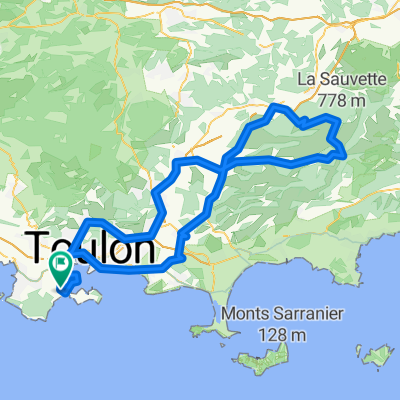
Cycling Route in La Seyne-sur-Mer, Provence-Alpes-CĂ´te d'Azur Region, France

St Tropez - Plan de la Tour - Le Thoronet - 19 Nov. 21.

0
Open this route in the Bikemap app

Open this route in the Bikemap app

Open this route in Bikemap Web

Open this route in Bikemap Web

239 km
Distance
2217 m
Ascent
2223 m
Descent
-:-- h
Duration
-- km/h
Avg. Speed
435 m
Max. Elevation

About This Route

La Seyne / Sablettes – Port - Toulon – piste – Le Pradet – Carqueiranne – L’Almanarre – Hyères-Port – L’Ayguade – Les Salins – La Londe – La Verrerie – Col de Gratteloup – Col de Caguo-Ven ( 237 m ) - R.F. des crêtes { Col du Landon – La Pierre d’Avenon – cote 423 m - Col de Barral – cote 436 m – Vieux Sauvaire - Le Pin de Tonnerre ( 420 m ) – Col du Canadel ( 269 m ) } – Canadel - Le RayolCol de l’Etoile ( 123 m ) – Le Dattier – Cavalaire – Pardigon – La Croix-ValmerRoute du Brost – Gassin ( Sud ) – Moulins de Paillas ( 270 m ) – Ramatuelle – ch. de Ste AnneSt Tropez – La Foux – Reverdi - Corruero – PréconilPlan de la Tour - Vallaury – Les Gastons – La Bastide Rouge – Rivière « L’Aille » ( pont ) – Vidauban ( Sud ) – Entraygues – Les Bertrands – Les Germains – Le Thoronet – Abbaye du Thoronet – Cabasse – Camdumy – St Bernard – Besse sur Issole - Carnoules – D97 - Puget-Ville - Cuers – Crémorin – Les Bancaous – Solliès-Pont ( cimetière ) – La Farlède – La Valette - Toulon - piste - Lagoubran - Pyro – Port - La Seyne / Sablettes.

This cycling route is ideal for: Road bike

You will cycle on the following surfaces: Paved

Customize this cycling route with the Bikemap route planner.

Make it yours!

Did you know? You can use this route as a template in our cycling route planner if you don't wish to start from scratch. Customize it based on your needs to plan your perfect cycling tour.

Open it in the app