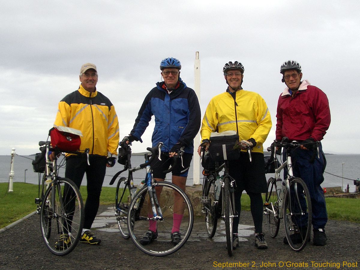
Premium Badge Download on the App Store Get it on Google Play Turn-by-turn Navigation Offline Maps Bike Type Optimized Routing Premium Maps Custom Bike Computer Export Routes Route Previews Fall Detection Premium Support

Cycling Route

Day 2, 53 miles from John o'Groats to Betty Hill

0
Open this route in the Bikemap app

Open this route in the Bikemap app

Open this route in Bikemap Web

Open this route in Bikemap Web

86 km
Distance
850 m
Ascent
854 m
Descent
-:-- h
Duration
-- km/h
Avg. Speed
155 m
Max. Elevation

About This Route

September 2, 2006. After breakfast at the Seaview Hotel and photos at the John o'Groats touching post, we got underway at 9:30 in a cool southwest wind and light rain. Down to the shore at the Castle of Mey and then inland through Westfield and Shebster - some of the best farmland in Caithness county - to Melvich and the Halladale Inn for a lunch that included Cumberland sausage egg. The ride from Melvich to Bettyhill was a series of stream valleys and 400 foot headlands that made good use of our lowest gears. There was enough heavy rain that we had to hang up our gear to dry when we arrived but the sun soon came back out and the evening was splendid. From the Betty Hill Hotel Lounge we could watch half a dozen surfers try to catch the modest waves as the tide came in to the sandy beech 300 feet below.

This cycling route is ideal for: Road bike

You will cycle on the following surfaces: Paved

This route is based on Day 1, 56 warm-up miles from Bonar Bridge to Betty Hill .

Route Photos

Customize this cycling route with the Bikemap route planner.

Make it yours!

Did you know? You can use this route as a template in our cycling route planner if you don't wish to start from scratch. Customize it based on your needs to plan your perfect cycling tour.

Open it in the app