Cycling Route in Bonyhád, Tolna megye, Hungary
Bonyhád keleti környékén körtúra
0

Open this route in the Bikemap app

Open this route in Bikemap Web
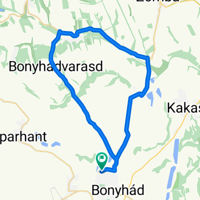
29
km
Distance
Distance
323
m
Ascent
Ascent
321
m
Descent
Descent
-:--
h
Duration
Duration
--
km/h
Avg. Speed
Avg. Speed
246
m
Max. Elevation
Max. Elevation