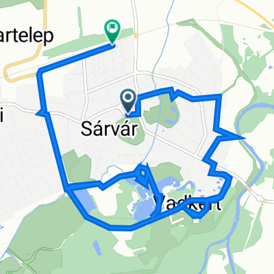
Cycling Route in Sárvár, Vas, Hungary
Sárvár - Szajki tavak - Sárvár
2

Open this route in the Bikemap app

Open this route in Bikemap Web
73
km
Distance
Distance
268
m
Ascent
Ascent
269
m
Descent
Descent
-:--
h
Duration
Duration
--
km/h
Avg. Speed
Avg. Speed
---
m
Max. Elevation
Max. Elevation