Cycling Route in Rena, Hedmark, Norway
Landeveisbirken
2

Open this route in the Bikemap app

Open this route in Bikemap Web
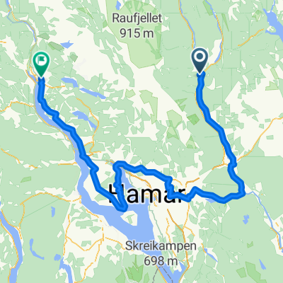
172
km
Distance
Distance
979
m
Ascent
Ascent
961
m
Descent
Descent
-:--
h
Duration
Duration
--
km/h
Avg. Speed
Avg. Speed
---
m
Max. Elevation
Max. Elevation