Cycling Route in Haren, Lower Saxony, Germany
Grensfietsen.NL - Etappe 2 (Drenthe) - A- en B-route - Grensfietsen.NL - Etappe 2 (Drenthe) - A- en B-route
0

Open this route in the Bikemap app

Open this route in Bikemap Web
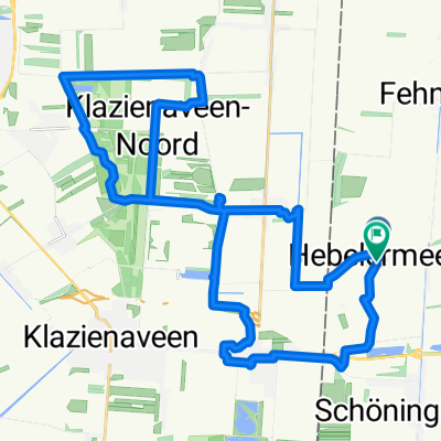
89
km
Distance
Distance
10
m
Ascent
Ascent
11
m
Descent
Descent
-:--
h
Duration
Duration
--
km/h
Avg. Speed
Avg. Speed
19
m
Max. Elevation
Max. Elevation