Premium Badge Download on the App Store Get it on Google Play Turn-by-turn Navigation Offline Maps Bike Type Optimized Routing Premium Maps Custom Bike Computer Export Routes Route Previews Fall Detection Premium Support

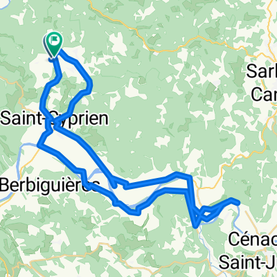
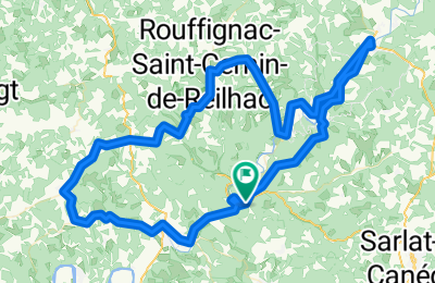
Cycling Route in Saint-Cyprien, Aquitaine-Limousin-Poitou-Charentes, France

Les Eyzies Loop

0
Open this route in the Bikemap app

Open this route in the Bikemap app

Open this route in Bikemap Web

Open this route in Bikemap Web

99 km
Distance
768 m
Ascent
768 m
Descent
-:-- h
Duration
-- km/h
Avg. Speed
--- m
Max. Elevation

About This Route

We did this ride on a tandem.  The first part of this route follows the Vezere river to Montignac, and then back on the other side of the bank to La Roque St. Christophe.  THe rest of the ride goes through farm land and manicured forest through multiple small towns.  Very lovely, undulating roads with some not too difficult hills with gorgeous views as your reward.  We thought this was a really great ride!

This cycling route is ideal for: Road bike

You will cycle on the following surfaces: Paved

Customize this cycling route with the Bikemap route planner.

Make it yours!

Did you know? You can use this route as a template in our cycling route planner if you don't wish to start from scratch. Customize it based on your needs to plan your perfect cycling tour.

Open it in the app