Premium Badge Download on the App Store Get it on Google Play Turn-by-turn Navigation Offline Maps Bike Type Optimized Routing Premium Maps Custom Bike Computer Export Routes Route Previews Fall Detection Premium Support

Cycling Route in Dombóvár, Tolna megye, Hungary

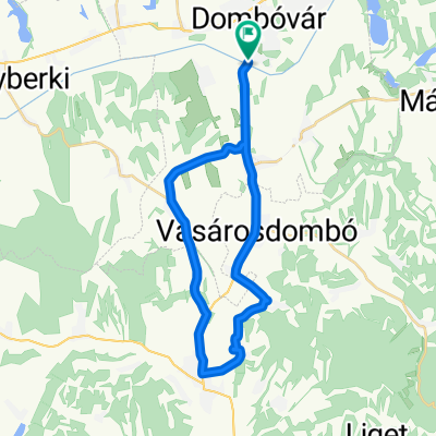
Dombóvár - Gödreszentmárton - Baranyajenő

2
Open this route in the Bikemap app

Open this route in the Bikemap app

Open this route in Bikemap Web

Open this route in Bikemap Web

49 km
Distance
481 m
Ascent
495 m
Descent
-:-- h
Duration
-- km/h
Avg. Speed
277 m
Max. Elevation

About This Route

Mindenféle útburkolattal, erdei mezőgazdasági, kavicsos és aszfalt szakaszokkal. Elsősorban MTB, vagy egy jó cross trekkinggel bejárható. Az útvonal nem a legegyszerübb és nem is leggyorsabb, ennél egyszreübben is el lehet jutni, vagy bejátni az adott környéket. Többféle lehetőség is van, ez csak az egyik amely érinti a Katahegyet, a Szalacska kápolnát, Rókahegyi geodéziai tornyot, több turista útvonalat..stb

This cycling route is ideal for: MTB

Route Photos

Customize this cycling route with the Bikemap route planner.

Make it yours!

Did you know? You can use this route as a template in our cycling route planner if you don't wish to start from scratch. Customize it based on your needs to plan your perfect cycling tour.

Open it in the app