Cycling Route in Essing, Bavaria, Germany
546. 7 Wasser, Kallmünz und Regensburg
0

Open this route in the Bikemap app

Open this route in Bikemap Web
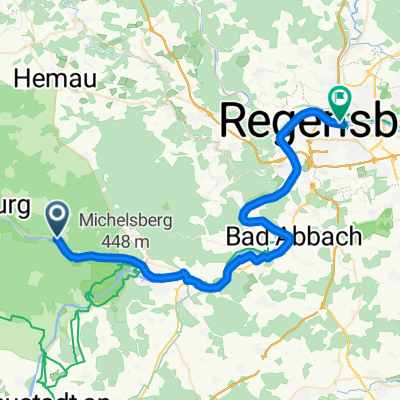
115
km
Distance
Distance
1254
m
Ascent
Ascent
1251
m
Descent
Descent
-:--
h
Duration
Duration
--
km/h
Avg. Speed
Avg. Speed
534
m
Max. Elevation
Max. Elevation