Premium Badge Download on the App Store Get it on Google Play Turn-by-turn Navigation Offline Maps Bike Type Optimized Routing Premium Maps Custom Bike Computer Export Routes Route Previews Fall Detection Premium Support

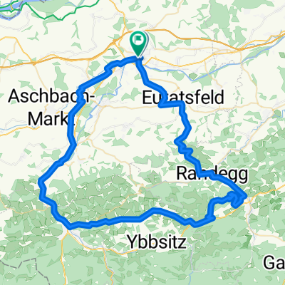
Cycling Route in Amstetten, Lower Austria, Austria

Amstetten - Weitra

0
Open this route in the Bikemap app

Open this route in the Bikemap app

Open this route in Bikemap Web

Open this route in Bikemap Web

98 km
Distance
1274 m
Ascent
976 m
Descent
-:-- h
Duration
-- km/h
Avg. Speed
--- m
Max. Elevation

About This Route

Amstetten - Grein - Bad Kreuzen - Pabneukirchen - Möchnchdorf - Königswiesen - L579 nach Unterweissenbach

L 576 nach Liebenau

L 576 Schanz

L 301 Kuchlreith, Wiegenwald

L 172 Kainrathschlag

L7297 Kasbachrstr. Richtung Koglschlag

L8301 nach Nonndorf

L8304 von Nonndorf nach Watzmanns

L72 links nach ca. 1 km Rechts in die

L8304 nach Walterschlag - St. Wolfgang - Weitra

This cycling route is ideal for: Road bike

You will cycle on the following surfaces: Paved

Customize this cycling route with the Bikemap route planner.

Make it yours!

Did you know? You can use this route as a template in our cycling route planner if you don't wish to start from scratch. Customize it based on your needs to plan your perfect cycling tour.

Open it in the app