Premium Badge Download on the App Store Get it on Google Play Turn-by-turn Navigation Offline Maps Bike Type Optimized Routing Premium Maps Custom Bike Computer Export Routes Route Previews Fall Detection Premium Support

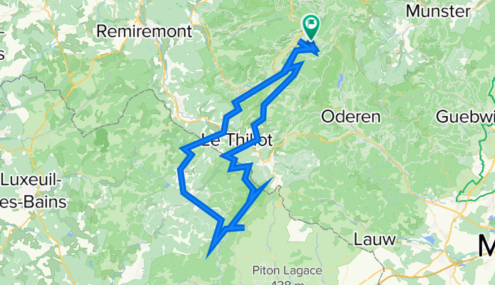
Cycling Route in La Bresse, Alsace-Champagne-Ardenne-Lorraine, France

La Bresse - Planche des Belles Filles - La Bresse ( + 3500 hm)

0
Open this route in the Bikemap app

Open this route in the Bikemap app

Open this route in Bikemap Web

Open this route in Bikemap Web

214 km
Distance
8053 m
Ascent
8047 m
Descent
-:-- h
Duration
-- km/h
Avg. Speed
1151 m
Max. Elevation

About This Route

La Bresse (Rue du Hohneck) – Cornimont (via βˆ† Rue Des Petites Alpes) – Les Meix Fraiteux – βˆ† Col de Morbiex – βˆ† Col de Morbeu – Ramonchamp – βˆ† La Colline – Beulotte-Saint-Laurent – MontandrΓ© – Rexelaxert – βˆ† La GrΓ¨ve – βˆ† Les Martines – βˆ† Belfahy – Les Roches – La Chevestraye – Plancher-Les-Mines – β–²Planche des Belles Filles – βˆ† Col du ballon de Servance – βˆ† Col de Servance – βˆ† Ballon de Servance – ChΓ’teau-Lambert – La Courbe – Thillot – Le MΓ©nil – La Golette – Travexin – βˆ† Route des Rosiers – βˆ† Col du Brabant – Les Corbeaux - La Bresse (Rue du Hohneck).

This cycling route is ideal for: Road bike

You will cycle on the following surfaces: Paved

Customize this cycling route with the Bikemap route planner.

Make it yours!

Did you know? You can use this route as a template in our cycling route planner if you don't wish to start from scratch. Customize it based on your needs to plan your perfect cycling tour.

Open it in the app