Cycling Route in Saint-Etienne-de-Cuines, Auvergne-Rhône-Alpes, France
glandon col
0

Open this route in the Bikemap app

Open this route in Bikemap Web
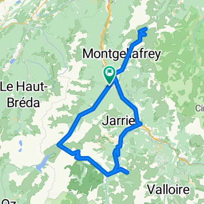
24
km
Distance
Distance
1455
m
Ascent
Ascent
187
m
Descent
Descent
-:--
h
Duration
Duration
--
km/h
Avg. Speed
Avg. Speed
---
m
Max. Elevation
Max. Elevation