Premium Badge Download on the App Store Get it on Google Play Turn-by-turn Navigation Offline Maps Bike Type Optimized Routing Premium Maps Custom Bike Computer Export Routes Route Previews Fall Detection Premium Support

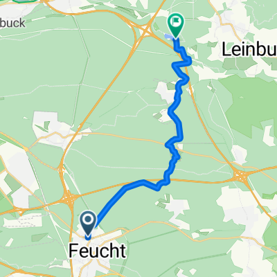
Cycling Route in Feucht, Bavaria, Germany

Entenberg, Deckersberg, Pegnitztal (mit Lungersdorf), Hormersdorf-Osternohe, Ottensoos

0
Open this route in the Bikemap app

Open this route in the Bikemap app

Open this route in Bikemap Web

Open this route in Bikemap Web

99 km
Distance
778 m
Ascent
778 m
Descent
-:-- h
Duration
-- km/h
Avg. Speed
--- m
Max. Elevation

About This Route

Ein paar Highlights:


Rampe beim Entenberg, Auffahrt (und natürlich Abfahrt!) beim Deckersberg, Pegnitztal mit dem Filetstück Lungersdorf-Güntersthal, Abfahrt von Hormersdorf nach Osternohe und dann noch hinten um den Moritzberg rum.

Laut GPS ca. 1100HM

This cycling route is ideal for: Road bike

You will cycle on the following surfaces: Paved

Customize this cycling route with the Bikemap route planner.

Make it yours!

Did you know? You can use this route as a template in our cycling route planner if you don't wish to start from scratch. Customize it based on your needs to plan your perfect cycling tour.

Open it in the app