Premium Badge Download on the App Store Get it on Google Play Turn-by-turn Navigation Offline Maps Bike Type Optimized Routing Premium Maps Custom Bike Computer Export Routes Route Previews Fall Detection Premium Support

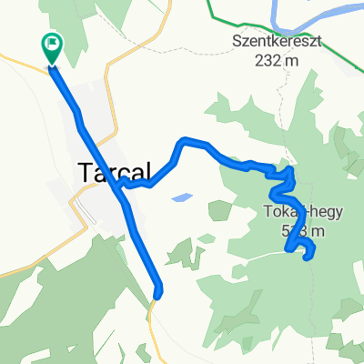
Cycling Route in Tarcal, Borsod-Abauj Zemplen county, Hungary

kardió 1

0
Open this route in the Bikemap app

Open this route in the Bikemap app

Open this route in Bikemap Web

Open this route in Bikemap Web

22 km
Distance
305 m
Ascent
94 m
Descent
-:-- h
Duration
-- km/h
Avg. Speed
--- m
Max. Elevation

About This Route

Főként országútival érdemes megtenni de mountain bike-al is élvezetes szép környék.

Van benne minden ami kell emelkedők, lejtő az út minősége Erdőbénye utána nem a legjobb de elfogadható.

Simára egy kb. 1,1 km hosszú emelkedővel juthatunk fel ami kb. 17-18% meredekségű.

De jutalomként a falu közkútjából friss vizet kortyolhatunk.

This cycling route is ideal for: Road bike MTB

You will cycle on the following surfaces: Paved

Customize this cycling route with the Bikemap route planner.

Make it yours!

Did you know? You can use this route as a template in our cycling route planner if you don't wish to start from scratch. Customize it based on your needs to plan your perfect cycling tour.

Open it in the app