Cycling Route in Oberthal, Saarland, Germany
Nahetalradweg
2

Open this route in the Bikemap app

Open this route in Bikemap Web
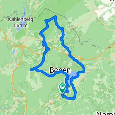
126
km
Distance
Distance
1002
m
Ascent
Ascent
1358
m
Descent
Descent
-:--
h
Duration
Duration
--
km/h
Avg. Speed
Avg. Speed
462
m
Max. Elevation
Max. Elevation