Cycling Route in Münstertal, Black Forest, Baden-Württemberg, Germany
20220808 Todtnau
1

Open this route in the Bikemap app

Open this route in Bikemap Web
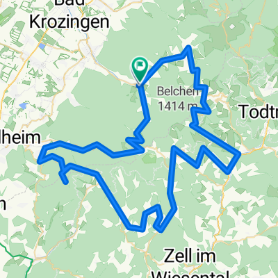
34
km
Distance
Distance
1711
m
Ascent
Ascent
1406
m
Descent
Descent
-:--
h
Duration
Duration
--
km/h
Avg. Speed
Avg. Speed
1190
m
Max. Elevation
Max. Elevation