Premium Badge Download on the App Store Get it on Google Play Turn-by-turn Navigation Offline Maps Bike Type Optimized Routing Premium Maps Custom Bike Computer Export Routes Route Previews Fall Detection Premium Support

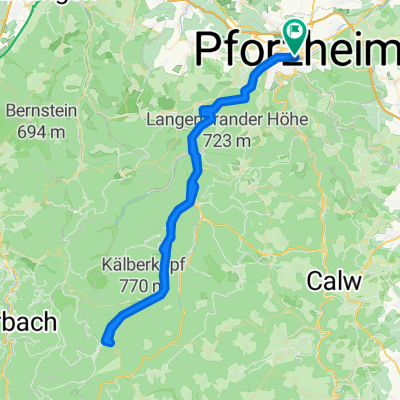
Cycling Route in Pforzheim, Baden-Württemberg, Germany

Schwarzwald Elsass

0
Open this route in the Bikemap app

Open this route in the Bikemap app

Open this route in Bikemap Web

Open this route in Bikemap Web

288 km
Distance
4570 m
Ascent
4480 m
Descent
-:-- h
Duration
-- km/h
Avg. Speed
1083 m
Max. Elevation

About This Route

/ Nach dem Motto „viel Schwarzwald - noch mehr Panorama“ führt der Schwarzwald Panorama-Radweg über die schönsten Höhen auf der Ostseite des Mittelgebirges. Von Pforzheim im Norden bis Waldshut-Tiengen im Süden fahren die Tourenradler auf befestigten Radwegen etwa 280 Kilometer durch Täler und über aussichtsreiche Hochflächen.

This cycling route is ideal for: Road bike

You will cycle on the following surfaces: Paved

Customize this cycling route with the Bikemap route planner.

Make it yours!

Did you know? You can use this route as a template in our cycling route planner if you don't wish to start from scratch. Customize it based on your needs to plan your perfect cycling tour.

Open it in the app