Premium Badge Download on the App Store Get it on Google Play Turn-by-turn Navigation Offline Maps Bike Type Optimized Routing Premium Maps Custom Bike Computer Export Routes Route Previews Fall Detection Premium Support

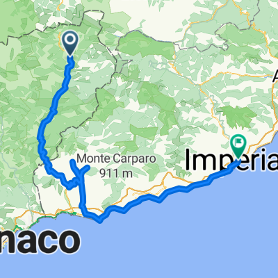
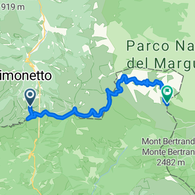
Cycling Route in Tende, Provence-Alpes-C么te d'Azur Region, France

parte ovest

0
Open this route in the Bikemap app

Open this route in the Bikemap app

Open this route in Bikemap Web

Open this route in Bikemap Web

59 km
Distance
2279 m
Ascent
2238 m
Descent
19:31 h
Duration
3.0 km/h
Avg. Speed
2047 m
Max. Elevation

About This Route

Statistiche calcolate sui dati importati Distanza: 59,2 km
Customize this cycling route with the Bikemap route planner.

Make it yours!

Did you know? You can use this route as a template in our cycling route planner if you don't wish to start from scratch. Customize it based on your needs to plan your perfect cycling tour.

Open it in the app