Premium Badge Download on the App Store Get it on Google Play Turn-by-turn Navigation Offline Maps Bike Type Optimized Routing Premium Maps Custom Bike Computer Export Routes Route Previews Fall Detection Premium Support

Cycling Route in Hilpoltstein, Bavaria, Germany

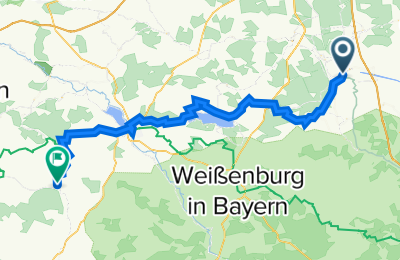
M4: Hilpoltstein - Wassertrüdingen 72km 590hm

0
Open this route in the Bikemap app

Open this route in the Bikemap app

Open this route in Bikemap Web

Open this route in Bikemap Web

72 km
Distance
745 m
Ascent
695 m
Descent
-:-- h
Duration
-- km/h
Avg. Speed
489 m
Max. Elevation

About This Route

Ente von Wassertrüdingen, Dinkelsbühler Str. 1, 91717 Wassertrüdingen, 09832 / 708070

Customize this cycling route with the Bikemap route planner.

Make it yours!

Did you know? You can use this route as a template in our cycling route planner if you don't wish to start from scratch. Customize it based on your needs to plan your perfect cycling tour.

Open it in the app